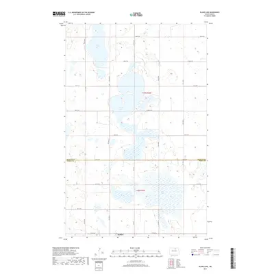
2017 Map of Island Lake
USGS Topo · Published 2017About this map
Wolford sits at the southern edge of this North Dakota landscape, situated along the border of Pierce Co and Rolette Co. The terrain is defined by a dense network of prairie potholes and larger water bodies, most notably Island Lake, which occupies the center of the survey. To the north, Long Lake extends into the upper reaches of the quadrangle, while Grass Lake dominates the southeastern quadrant. The local infrastructure follows a rigid section-line grid, represented by numerous secondary routes such as 75th St NE and 43rd Ave NE. These roads connect isolated farmsteads and agricultural plots, while labels like Willow City and Knox Rd indicate the vital transport links that historically tied these rural communities to larger regional hubs and markets.
Find a feature on this map
23 named features on this map. Tap any name to fly to it.
Don’t see what you’re looking for? This feature index may not catch every label — zoom into the map to look around manually.
Map Details
Editions of this 2017 Island Lake Map
This is the sole edition of this map. No revisions or reprints were ever made.
Other maps of this area
1953 · Devils Lake
USGS Topo · 1:250,000
1956 · Devils Lake
USGS Topo · 1:250,000
1971 · Wolford
USGS Topo · 1:24,000
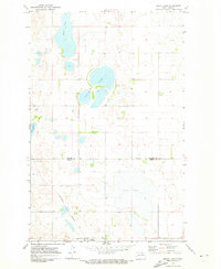
1971 · Island Lake
USGS Topo · 1:24,000
1971 · Rugby NE
USGS Topo · 1:24,000
1971 · Mylo
USGS Topo · 1:24,000
1971 · Hurricane Lake West
USGS Topo · 1:24,000
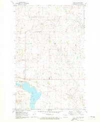
1971 · Mylo NW
USGS Topo · 1:24,000
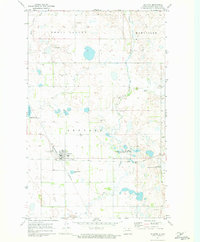
1971 · Rolette
USGS Topo · 1:24,000
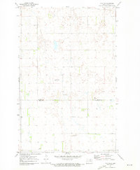
1971 · Mylo SE
USGS Topo · 1:24,000