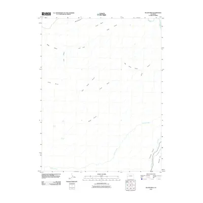
2010 Map of Island Mesa
USGS Topo · Published 2010About this map
Horse Mesa and the plateau of Island Mesa dominate this landscape in western Colorado, where a complex network of drainages has carved the terrain into distinct benches and deep ravines. The Gunnison River clips the northeastern corner, while the southern reaches are defined by the convergence of Unaweep Canyon and East Creek. This 2010 survey illustrates the remote character of the region, marked by named watering points like Notch Spring, End Spring, and Corduroy Spring that were essential for early land use. Small-scale human markers appear in the southeast, where 31 4/10 Rd skirts the base of Ninemile Hill, providing access to this high-desert environment. The density of named canyons, from Hells Hole to the bifurcated West Bangs Canyon, reflects a terrain where topography dictated the path of travel and resource extraction.
Find a feature on this map
18 named features on this map. Tap any name to fly to it.
Don’t see what you’re looking for? This feature index may not catch every label — zoom into the map to look around manually.
Map Details
Editions of this 2010 Island Mesa Map
This is the sole edition of this map. No revisions or reprints were ever made.
Other maps of this area

1934 · Colorado National Monument
USGS Topo · 1:24,000

1956 · Moab
USGS Topo · 1:250,000

1956 · Grand Junction
USGS Topo · 1:250,000

1959 · Grand Junction
USGS Topo · 1:250,000

1959 · Moab
USGS Topo · 1:250,000

1960 · Moab
USGS Topo · 1:250,000

1960 · Grand Junction
USGS Topo · 1:250,000

1962 · Moab
USGS Topo · 1:250,000

1962 · Grand Junction
USGS Topo · 1:250,000

1962 · Clifton
USGS Topo · 1:24,000