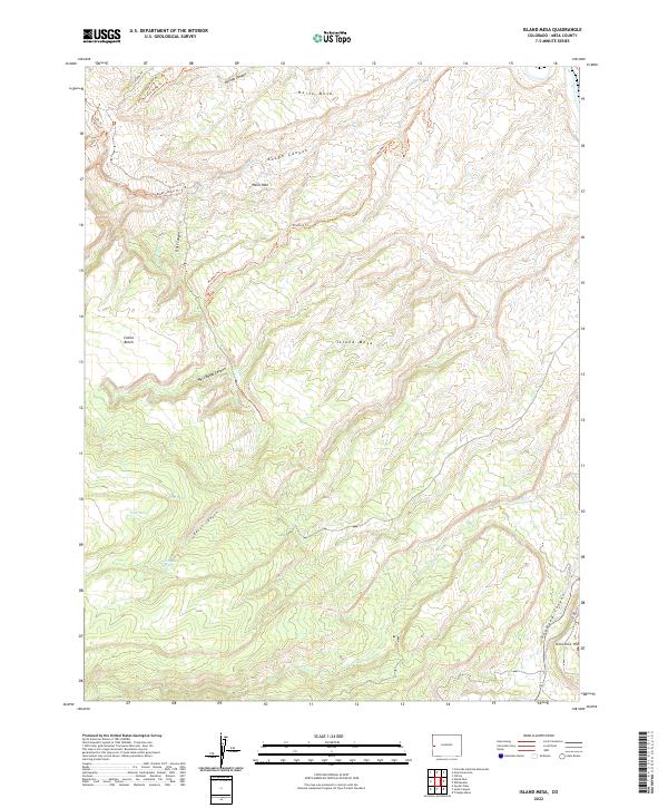
2022 Map of Island Mesa
USGS Topo · Published 2022About this map
Island Mesa dominates this landscape in Mesa County, where the high desert terrain is deeply incised by a network of drainage systems. The map detail highlights the dramatic topographical transition between elevated benches like Clarks Bench and the narrow corridors of Rough Canyon and Billings Canyon. A complex series of trails, including the Easy Rider Trl, Roll Over Ridge Trl, and Rough Canyon Trl, suggests a region used for navigation across challenging grades. Water sources are critical but sparse markers here, evidenced by End Spring, Notch Spring, and Corduroy Spring located near the head of Bangs Canyon. The southern edge of the survey reveals the significant drop into Unaweep Canyon near Ninemile Hill, illustrating the formidable physical geography of the Colorado Plateau.
Find a feature on this map
30 named features on this map. Tap any name to fly to it.
Don’t see what you’re looking for? This feature index may not catch every label — zoom into the map to look around manually.
Map Details
Editions of this 2022 Island Mesa Map
This is the sole edition of this map. No revisions or reprints were ever made.
Other maps of this area

1934 · Colorado National Monument
USGS Topo · 1:24,000

1956 · Moab
USGS Topo · 1:250,000

1956 · Grand Junction
USGS Topo · 1:250,000

1959 · Grand Junction
USGS Topo · 1:250,000

1959 · Moab
USGS Topo · 1:250,000

1960 · Moab
USGS Topo · 1:250,000

1960 · Grand Junction
USGS Topo · 1:250,000

1962 · Moab
USGS Topo · 1:250,000

1962 · Grand Junction
USGS Topo · 1:250,000

1962 · Clifton
USGS Topo · 1:24,000