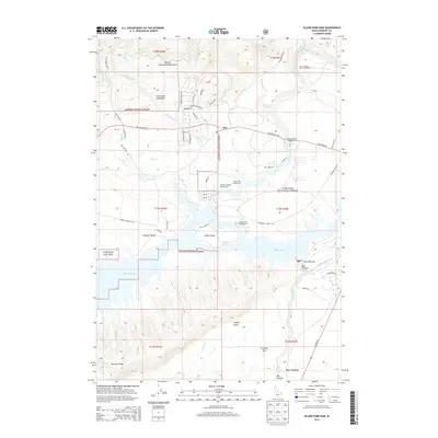
2013 Map of Island Park Dam
USGS Topo · Published 2013About this map
Island Park Dam controls the waters of the Henrys Fork river, creating a sprawling reservoir environment that dominates the southern half of this landscape. The settlement of Rea and the nearby McCrea Ranch sit at the intersection of a developing road network, including the Yale Kilgore Rd and US Hwy 20. The geography is defined by the transition from the high peaks of the Centennial Mountains and the Eastern Centennial Mountains in the north down into Shotgun Valley. Residential and recreational development is clustered around the water, visible in the subdivision-style naming of I P Bills Island and numerous public sites like the Buttermilk Campground and Jackson Landing Campground. Beyond the water, the terrain drops into the dramatic Box Canyon and levels out at Antelope Park, while the Targhee National Forest encompasses the surrounding timberland.
Find a feature on this map
71 named features on this map. Tap any name to fly to it.
Don’t see what you’re looking for? This feature index may not catch every label — zoom into the map to look around manually.
Map Details
Editions of this 2013 Island Park Dam Map
This is the sole edition of this map. No revisions or reprints were ever made.
Other maps of this area

1950 · Upper Red Rock Lake
USGS Topo · 1:62,500

1955 · Ashton
USGS Topo · 1:250,000

1958 · Ashton
USGS Topo · 1:250,000

1960 · Ashton
USGS Topo · 1:250,000

1964 · Hatchery Butte
USGS Topo · 1:24,000

1964 · Island Park
USGS Topo · 1:24,000

1964 · Island Park Dam
USGS Topo · 1:24,000

1964 · Sawtell PK
USGS Topo · 1:24,000

1964 · Big Springs
USGS Topo · 1:24,000

1964 · Last Chance
USGS Topo · 1:24,000