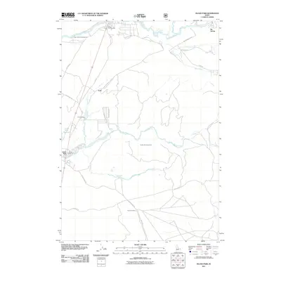
2011 Map of Island Park
USGS Topo · Published 2011About this map
Henrys Fork and the Buffalo River define this high-altitude landscape in the early twenty-first century, serving as a hub for recreational access and seasonal settlement. The map highlights the intersection of water and transport, with the Island Park Reservoir dominating the western edge and various facilities like the Buffalo River Access Area, Upper Coffee Pot Campground, and Buffalo Campground supporting the area's role as a major gateway for outdoorsmen.
Find a feature on this map
31 named features on this map. Tap any name to fly to it.
Don’t see what you’re looking for? This feature index may not catch every label — zoom into the map to look around manually.
Map Details
Editions of this 2011 Island Park Map
This is the sole edition of this map. No revisions or reprints were ever made.
Other maps of this area

1955 · Ashton
USGS Topo · 1:250,000

1957 · Buffalo Lake
USGS Topo · 1:62,500

1958 · Ashton
USGS Topo · 1:250,000

1958 · West Yellowstone
USGS Topo · 1:62,500

1960 · Ashton
USGS Topo · 1:250,000

1964 · Hatchery Butte
USGS Topo · 1:24,000

1964 · Island Park
USGS Topo · 1:24,000

1964 · Island Park Dam
USGS Topo · 1:24,000

1964 · Sawtell PK
USGS Topo · 1:24,000

1964 · Big Springs
USGS Topo · 1:24,000