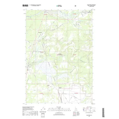
2020 Map of Island Park
USGS Topo · Published 2020About this map
Island Park and the surrounding basin are defined by the unique geological forms of the Island Park Caldera and Henrys Fork Caldera. The landscape is dominated by the Targhee National Forest, where the complex hydrology of the Henrys Fork and the Buffalo River supports a network of recreational and industrial sites. Small settlements and specialized locations such as Trude and Big Springs anchor the area, reflecting a long-standing history of seasonal residence and timber activity.
Find a feature on this map
60 named features on this map. Tap any name to fly to it.
Don’t see what you’re looking for? This feature index may not catch every label — zoom into the map to look around manually.
Map Details
Editions of this 2020 Island Park Map
This is the sole edition of this map. No revisions or reprints were ever made.
Other maps of this area
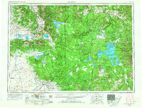
1955 · Ashton
USGS Topo · 1:250,000
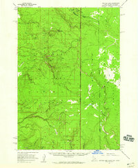
1957 · Buffalo Lake
USGS Topo · 1:62,500
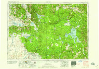
1958 · Ashton
USGS Topo · 1:250,000
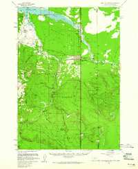
1958 · West Yellowstone
USGS Topo · 1:62,500
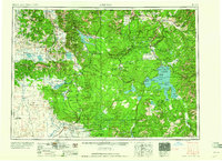
1960 · Ashton
USGS Topo · 1:250,000
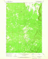
1964 · Hatchery Butte
USGS Topo · 1:24,000
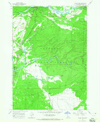
1964 · Island Park
USGS Topo · 1:24,000
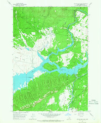
1964 · Island Park Dam
USGS Topo · 1:24,000
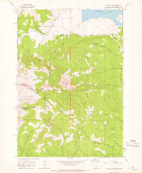
1964 · Sawtell PK
USGS Topo · 1:24,000
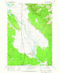
1964 · Big Springs
USGS Topo · 1:24,000