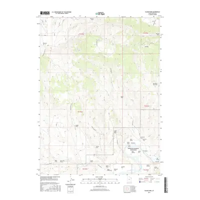
2017 Map of Island Park
USGS Topo · Published 2017About this map
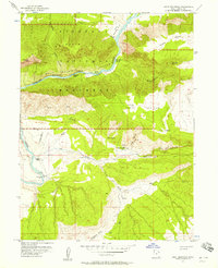
Dinosaur National Monument encompasses a dramatic geological landscape where the Green River carves through deep canyons and creates isolated river islands. This 2017 survey highlights the remote character of northeastern Utah, focusing on the high plateaus of Diamond Mtn and the striking relief of Boone Ridge. The area is defined by its complex drainage systems, such as Diamond Gulch and Sixmile Draw, which feed into the river corridor.
Find a feature on this map
45 named features on this map. Tap any name to fly to it.
Don’t see what you’re looking for? This feature index may not catch every label — zoom into the map to look around manually.
Map Details
Editions of this 2017 Island Park Map
This is the sole edition of this map. No revisions or reprints were ever made.
Other maps of this area
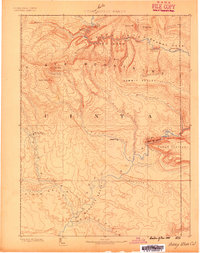
1885 · Ashley
USGS Topo · 1:250,000
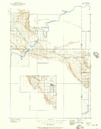
1907 · Jensen
USGS Topo · 1:125,000
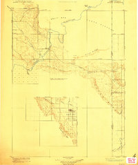
1910 · Jensen
USGS Topo · 1:125,000
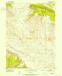
1950 · Blair Basin
USGS Topo · 1:24,000

1954 · Vernal
USGS Topo · 1:250,000
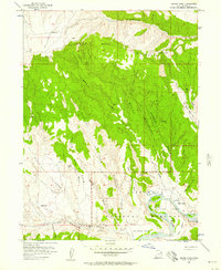
1955 · Island Park
USGS Topo · 1:24,000
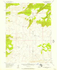
1955 · Stuntz Reservoir
USGS Topo · 1:24,000
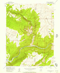
1955 · Jones Hole
USGS Topo · 1:24,000
1955 · Split Mountain
USGS Topo · 1:24,000

1958 · Vernal
USGS Topo · 1:250,000