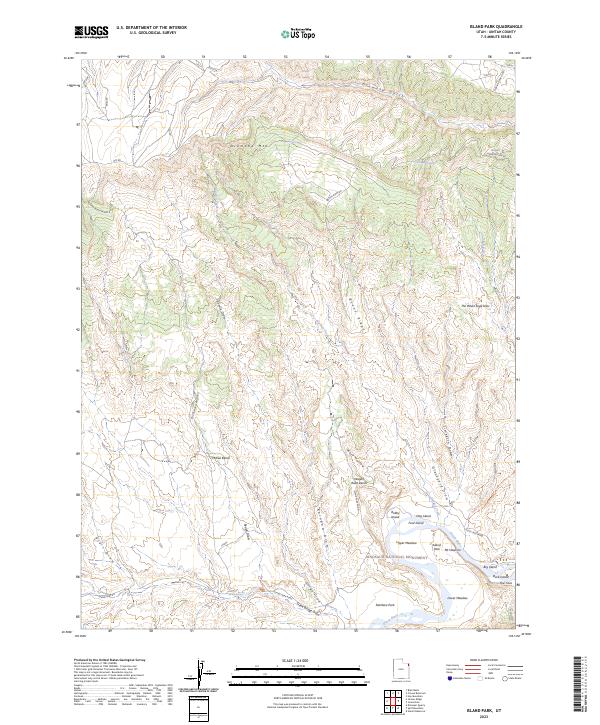
2023 Map of Island Park
USGS Topo · Published 2023About this map
Dinosaur National Monument occupies the southern portion of this landscape, where the Green River carves through a complex of riverine meadows and isolated landforms. Named islands such as Bobby Island, Hog Island, and Ford Island punctuate the river's path through Island Park, a notable broad valley between high ridges. The terrain transitions from the high elevations of Diamond Mtn and Boone Ridge in the north down to the riparian flats of Upper Meadow and Lower Meadow. Local water sources like McKee Spring and Boone Spring supported early access to this remote stretch of Uintah County, while a network of primitive routes including Boone Ridge Rd and the Ruple to Ely Trl trace the topographic benches and draws. The map illustrates a landscape defined by significant erosion, with deep cuts like Wolf Hollow and Limekiln Draw feeding toward the river valley.
Find a feature on this map
41 named features on this map. Tap any name to fly to it.
Don’t see what you’re looking for? This feature index may not catch every label — zoom into the map to look around manually.
Map Details
Editions of this 2023 Island Park Map
This is the sole edition of this map. No revisions or reprints were ever made.
Other maps of this area

1885 · Ashley
USGS Topo · 1:250,000

1907 · Jensen
USGS Topo · 1:125,000

1910 · Jensen
USGS Topo · 1:125,000

1950 · Blair Basin
USGS Topo · 1:24,000

1954 · Vernal
USGS Topo · 1:250,000

1955 · Island Park
USGS Topo · 1:24,000

1955 · Stuntz Reservoir
USGS Topo · 1:24,000

1955 · Jones Hole
USGS Topo · 1:24,000

1955 · Split Mountain
USGS Topo · 1:24,000

1958 · Vernal
USGS Topo · 1:250,000