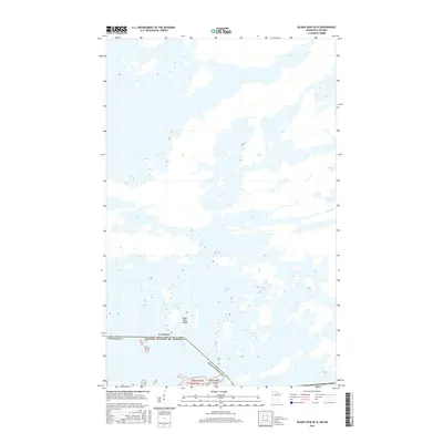
2016 Map of Island View OE N
USGS Topo · Published 2016About this map
Rainy Lake dominates this international border region, where the water is punctuated by numerous landmasses including Eight Mile Island, Jackfish Island, and Red Sucker Island. The boundary between the United States of America and Canada cuts through the southern reaches of the map, specifically within Koochiching Co, Minnesota. The landscape is primarily aquatic and undeveloped, characterized by intricate shorelines and smaller interior water bodies such as Moosehorn Lake and Nickel Lake. The drainage pattern is further defined by Nickel Cr, flowing through the eastern portion of the quadrangle. This 2016 survey provides a modern record of the island formations and waterways along this northern frontier, serving as a primary reference for the geographic relationship between the two nations in this waterway.
Find a feature on this map
11 named features on this map. Tap any name to fly to it.
Don’t see what you’re looking for? This feature index may not catch every label — zoom into the map to look around manually.
Map Details
Editions of this 2016 Island View OE N Map
This is the sole edition of this map. No revisions or reprints were ever made.
Other maps of this area
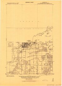
1919 · International Falls
USGS Topo · 1:62,500

1954 · International Falls
USGS Topo · 1:250,000

1957 · International Falls
USGS Topo · 1:250,000

1958 · International Falls
USGS Topo · 1:250,000
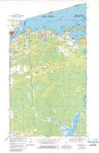
1963 · Ranier
USGS Topo · 1:24,000
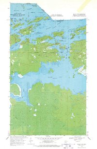
1969 · Island View
USGS Topo · 1:24,000
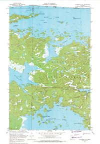
1969 · Cranberry Bay
USGS Topo · 1:24,000
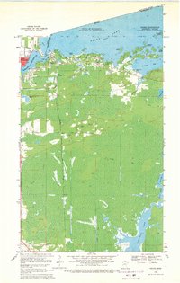
1969 · Ranier
USGS Topo · 1:24,000
1978 · International Falls
USGS Topo · 1:100,000
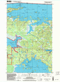
1999 · Cranberry Bay
USGS Topo · 1:24,000