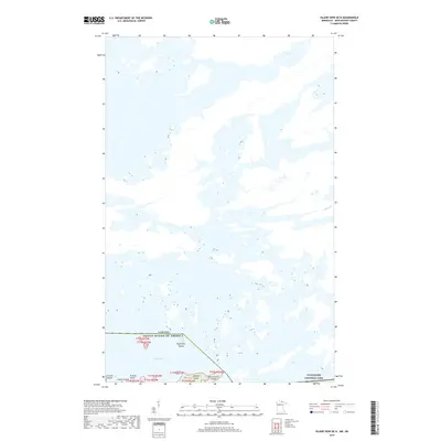
2019 Map of Island View OE N
USGS Topo · Published 2019About this map
Rainy Lake dominates this northern landscape, where the international boundary between the United States and Canada cuts through the water. The map detail highlights a labyrinth of islands within the lake, including Eightmile Island, Hvoslef Island, and Fransen Island. The southeastern portion of the sheet is protected within the boundaries of Voyageurs National Park, indicating the transition from open water to preserved wilderness along the Minnesota border. The topography is defined by complex shorelines and small tributaries like Nickel Cr, showing the intricate island chains that characterize this portion of Township 71 North, Range 23 West.
Find a feature on this map
12 named features on this map. Tap any name to fly to it.
Don’t see what you’re looking for? This feature index may not catch every label — zoom into the map to look around manually.
Map Details
Editions of this 2019 Island View OE N Map
This is the sole edition of this map. No revisions or reprints were ever made.
Other maps of this area
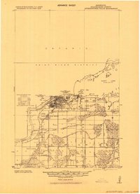
1919 · International Falls
USGS Topo · 1:62,500

1954 · International Falls
USGS Topo · 1:250,000

1957 · International Falls
USGS Topo · 1:250,000

1958 · International Falls
USGS Topo · 1:250,000
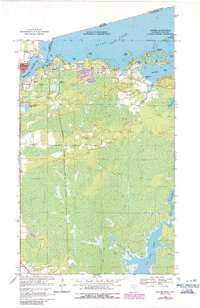
1963 · Ranier
USGS Topo · 1:24,000
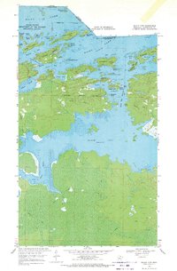
1969 · Island View
USGS Topo · 1:24,000
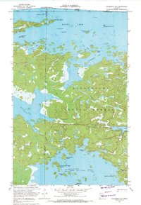
1969 · Cranberry Bay
USGS Topo · 1:24,000
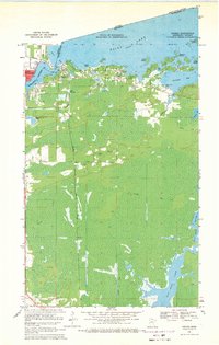
1969 · Ranier
USGS Topo · 1:24,000
1978 · International Falls
USGS Topo · 1:100,000
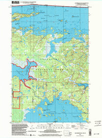
1999 · Cranberry Bay
USGS Topo · 1:24,000