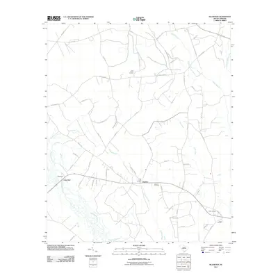
2011 Map of Islandton
USGS Topo · Published 2011About this map
Islandton serves as the focal point of this Lowcountry landscape, situated where the swampy tributaries of the Colleton County interior converge. The settlement is defined by its proximity to several significant burial grounds, including Rice Path Cemetery and Cross Swamp Cemetery, which offer valuable data for genealogical research. The Islandton Post Office stands at the center of a network of local roads that navigate a terrain dominated by the winding paths of the Salkehatchie River and the Little Salkehatchie River. To the west, the elevation rises slightly at Toby Bluff, overlooking the wetlands where Ricepatch Creek and Deep Creek filter through the coastal plain. The distribution of these family-named landmarks and rural cemeteries reflects a long-standing agricultural community structured around the natural drainage of Willow Swamp and its various branches.
Find a feature on this map
51 named features on this map. Tap any name to fly to it.
Don’t see what you’re looking for? This feature index may not catch every label — zoom into the map to look around manually.
Map Details
Editions of this 2011 Islandton Map
This is the sole edition of this map. No revisions or reprints were ever made.
Other maps of this area

1918 · Varnville
USGS Topo · 1:62,500

1919 · Olar
USGS Topo · 1:62,500

1919 · Cummings
USGS Topo · 1:62,500

1919 · Lodge
USGS Topo · 1:62,500

1920 · Lodge
USGS Topo · 1:48,000

1921 · Lodge
USGS Topo · 1:62,500

1943 · Olar
USGS Topo · 1:62,500

1943 · Lodge
USGS Topo · 1:62,500

1943 · Orangeburg
USGS Topo · 1:125,000

1943 · Cummings
USGS Topo · 1:62,500