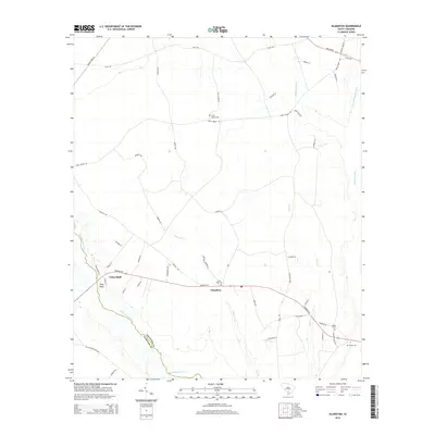
2014 Map of Islandton
USGS Topo · Published 2014About this map
Islandton serves as the central hub for this rural Lowcountry landscape, situated along the path of Sniders Hwy. The geography is defined by a complex network of slow-moving waterways, including the Salkehatchie River and the Little Salkehatchie River, which form the boundary between Colleton Co and Hampton Co. These rivers are fed by a vast system of swamps and creeks such as Willow Swamp, Cross Swamp, and the wandering Ricepatch Cr.
Find a feature on this map
53 named features on this map. Tap any name to fly to it.
Don’t see what you’re looking for? This feature index may not catch every label — zoom into the map to look around manually.
Map Details
Editions of this 2014 Islandton Map
This is the sole edition of this map. No revisions or reprints were ever made.
Other maps of this area

1918 · Varnville
USGS Topo · 1:62,500

1919 · Olar
USGS Topo · 1:62,500

1919 · Cummings
USGS Topo · 1:62,500

1919 · Lodge
USGS Topo · 1:62,500

1920 · Lodge
USGS Topo · 1:48,000

1921 · Lodge
USGS Topo · 1:62,500

1943 · Olar
USGS Topo · 1:62,500

1943 · Lodge
USGS Topo · 1:62,500

1943 · Orangeburg
USGS Topo · 1:125,000

1943 · Cummings
USGS Topo · 1:62,500