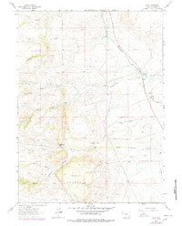
1962 Map of Islay
USGS Topo · Published 1978About this map
Cheyenne Pass and the surrounding high country of Laramie County dominate this landscape, which transitioned into the late 1970s through a mix of ranching and early hydraulic engineering. The Colorado and Southern railroad cuts diagonally across the terrain, serving the small settlement of Islay and the northern outpost of Tromley. A significant piece of frontier history is marked by the Site of Camp Walbach, a mid-19th-century military post located at the foot of the pass. The water management system for the region is highly visible, featuring an Aqueduct, the Chadwick Ditch No 1, and numerous flowing wells that support the L T Ranch and Lorenz Ranch along the various forks of Lodgepole Creek.
Find a feature on this map
21 named features on this map. Tap any name to fly to it.
Don’t see what you’re looking for? This feature index may not catch every label — zoom into the map to look around manually.
Map Details
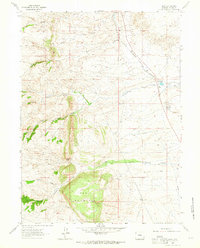
Editions of this 1962 Islay Map
2 editions found
Other maps of this area

1905 · Sherman
USGS Topo · 1:125,000

1948 · Sherman Mountains
USGS Topo · 1:62,500

1948 · Ragged Top Mountain
USGS Topo · 1:62,500

1950 · Ragged Top Mountain
USGS Topo · 1:62,500

1950 · Sherman Mountains
USGS Topo · 1:62,500

1954 · Cheyenne
USGS Topo · 1:250,000

1958 · Cheyenne
USGS Topo · 1:250,000

1962 · Horse Creek
USGS Topo · 1:24,000

1962 · Federal
USGS Topo · 1:24,000

1962 · Dereemer Ranch
USGS Topo · 1:24,000