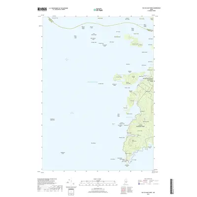
2018 Map of Isle Au Haut West
USGS Topo · Published 2018About this map
Robinson Point Light stands on the western shore of the island of Isle Au Haut, guiding mariners through the complex waters where Isle Au Haut Bay meets Merchant Row. This coastal landscape is dominated by the western reaches of Acadia National Park, where the interior heights of Bald Mtn and Wentworth Mtn overlook a deeply indented shoreline. Numerous small islands and ledges, such as Merchant Island and Kimball Island, create a protected maritime corridor. For genealogists and local historians, the map identifies several remote burial sites, including Merchant Island Cem, Turners Cem, and Duck Harbor Cem, which speak to the long-standing isolation and self-sufficiency of these island communities. The island's limited road network, consisting of Main Rd and Lighthouse Rd, connects small coves like Moores Harbor and Duck Harbor to the primary settlement area.
Find a feature on this map
87 named features on this map. Tap any name to fly to it.
Don’t see what you’re looking for? This feature index may not catch every label — zoom into the map to look around manually.
Map Details
Editions of this 2018 Isle Au Haut West Map
This is the sole edition of this map. No revisions or reprints were ever made.
Other maps of this area

1904 · Deer Isle
USGS Topo · 1:62,500

1904 · Vinalhaven
USGS Topo · 1:62,500

1905 · Penobscot Bay
USGS Topo · 1:125,000

1906 · Matinicus
USGS Topo · 1:62,500

1941 · Vinalhaven
USGS Topo · 1:62,500

1942 · Deer Isle
USGS Topo · 1:62,500

1944 · Vinalhaven
USGS Topo · 1:62,500

1944 · Deer Isle
USGS Topo · 1:62,500

1948 · Bangor
USGS Topo · 1:250,000

1948 · Bath
USGS Topo · 1:250,000