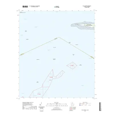
2020 Map of Isle au Pitre
USGS Topo · Published 2020About this map
Mississippi Sound and Chandeleur Sound meet at the maritime border of Mississippi and Louisiana, a region defined by shifting shoals and low-lying marsh keys. The northern extent of the map features the western tip of Cat Island, including West Point, which falls within the protected boundaries of the Gulf Islands National Seashore. This environment is a complex network of navigable channels like Pass Marianne and the Intracoastal Waterway, crucial for coastal transit.
Find a feature on this map
32 named features on this map. Tap any name to fly to it.
Don’t see what you’re looking for? This feature index may not catch every label — zoom into the map to look around manually.
Map Details
Editions of this 2020 Isle au Pitre Map
This is the sole edition of this map. No revisions or reprints were ever made.
Other maps of this area

1893 · Cat Island
USGS Topo · 1:62,500

1893 · Toulme
USGS Topo · 1:62,500

1946 · Isle Au Pitre
USGS Topo · 1:31,680
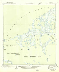
1949 · Drum Bay
USGS Topo · 1:31,680
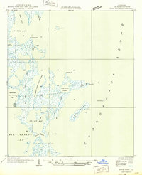
1949 · Door Point
USGS Topo · 1:31,680

1951 · Cat Island
USGS Topo · 1:24,000

1953 · Mobile
USGS Topo · 1:250,000

1954 · Isle Au Pitre
USGS Topo · 1:31,680

1954 · Gulfport South
USGS Topo · 1:24,000

1955 · Pass Christian
USGS Topo · 1:24,000