
1954 Map of Isle Au Pitre
USGS Topo · Published 1954About this map
Isle Au Pitre and the surrounding marshlands of St Bernard Parish anchor this coastal survey, where the borders of Louisiana and Mississippi meet in the shallow waters of the Mississippi Sound. This map represents an advance sheet compiled from 1930s aerial photography, documenting the complex estuarine environment before significant modern coastal erosion and engineering. Maritime navigation is central to the area's geography, evidenced by the Merrill Shell Bank LH and Cat Island LH guarding the approaches to Marianne Pass and South Pass. To the south, the intricate network of Bayou Pierre and Little Bayou Pierre reveals a landscape dominated by tidal flow and marshy inlets like Creole Gap, essential for understanding the historical shoreline of Drum Bay and the vicinity of Door Point.
Find a feature on this map
19 named features on this map. Tap any name to fly to it.
Don’t see what you’re looking for? This feature index may not catch every label — zoom into the map to look around manually.
Map Details
Editions of this 1954 Isle Au Pitre Map
This is the sole edition of this map. No revisions or reprints were ever made.
Other maps of this area

1893 · Cat Island
USGS Topo · 1:62,500

1893 · Toulme
USGS Topo · 1:62,500

1946 · Isle Au Pitre
USGS Topo · 1:31,680
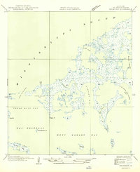
1949 · Drum Bay
USGS Topo · 1:31,680
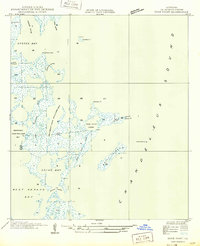
1949 · Door Point
USGS Topo · 1:31,680

1951 · Cat Island
USGS Topo · 1:24,000

1953 · Mobile
USGS Topo · 1:250,000

1954 · Gulfport South
USGS Topo · 1:24,000

1955 · Pass Christian
USGS Topo · 1:24,000
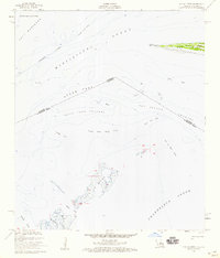
1955 · Isle Au Pitre
USGS Topo · 1:24,000