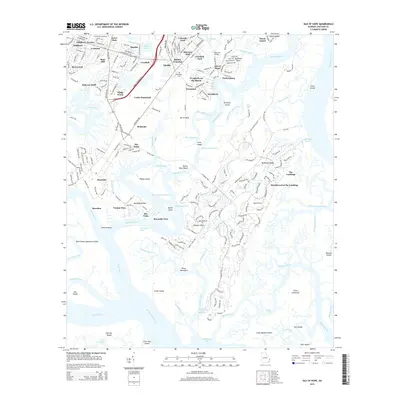
2014 Map of Isle of Hope
USGS Topo · Published 2014About this map
Wormsloe and Isle of Hope anchor this coastal Georgia landscape, defined by a complex network of marshes, islands, and narrow waterways. The maritime character of the region is evident in the dense concentration of waterfront settlements like Beaulieu, Burnside, and Wymberly, connected by the Skidaway River and the Intracoastal Waterway. Genealogical interest is found in the New Guinea Cem near Mayfair and the Old Church Cem in Sandfly, reflecting the long-established communities of Chatham County.
Find a feature on this map
88 named features on this map. Tap any name to fly to it.
Don’t see what you’re looking for? This feature index may not catch every label — zoom into the map to look around manually.
Map Details
Editions of this 2014 Isle of Hope Map
This is the sole edition of this map. No revisions or reprints were ever made.
Other maps of this area

1920 · Wassaw Sound
USGS Topo · 1:62,500

1920 · Bluffton
USGS Topo · 1:62,500

1942 · Savannah
USGS Topo · 1:62,500

1944 · Ossabaw Island
USGS Topo · 1:62,500

1945 · Bluffton
USGS Topo · 1:62,500

1945 · Ossabaw Island
USGS Topo · 1:62,500

1945 · Wassaw Sound
USGS Topo · 1:62,500

1946 · Brunswick
USGS Topo · 1:250,000

1947 · Savannah
USGS Topo · 1:250,000

1948 · Brunswick
USGS Topo · 1:250,000