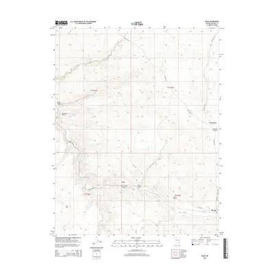
2015 Map of Islen
USGS Topo · Published 2015About this map
Barclay and Islen anchor the southeastern and central corridors of this Lincoln County survey, where the deep drainage of Clover Creek Canyon cuts through the desert landscape. The area is defined by its complex hydrology, with water sources like Big Spring, Little Springs, and Chokecherry Spring serving as vital landmarks in an arid environment. Transportation through the canyons is traced by rural routes including Beaver Dam Rd and the winding Clover Canyon Rd, connecting small settlements to the broader Clover Valley. Dramatic topographic shifts are evident between the high plateau of Flat Top and the deep incisions of Minto Canyon and Oak-Well Canyon. This map provides a look at the remote canyon-and-valley system where the desert floor meets the rising relief of the Clover Mountains region.
Find a feature on this map
28 named features on this map. Tap any name to fly to it.
Don’t see what you’re looking for? This feature index may not catch every label — zoom into the map to look around manually.
Map Details
Editions of this 2015 Islen Map
This is the sole edition of this map. No revisions or reprints were ever made.
Other maps of this area
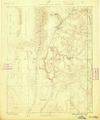
1885 · Pioche
USGS Topo · 1:250,000
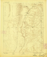
1886 · Pioche
USGS Topo · 1:250,000

1954 · Caliente
USGS Topo · 1:250,000
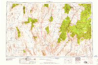
1959 · Caliente
USGS Topo · 1:250,000
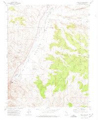
1972 · Indian Cove
USGS Topo · 1:24,000
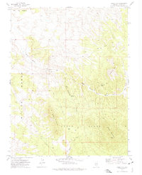
1972 · Mosey Mtn
USGS Topo · 1:24,000
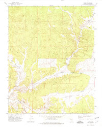
1972 · Acoma
USGS Topo · 1:24,000
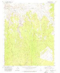
1972 · Eccles
USGS Topo · 1:24,000
1972 · Dow Mountain
USGS Topo · 1:24,000
1972 · Islen
USGS Topo · 1:24,000