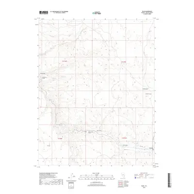
2018 Map of Islen
USGS Topo · Published 2018About this map
Islen and the nearby settlement of Barclay sit within the high-desert landscape of Lincoln County, where the topography is defined by deep incisions like Islen Canyon and Clover Creek Canyon. This 2018 survey illustrates a region where water sources are the primary drivers of location, evidenced by the cluster of labels around Big Spring, Little Springs, and Horse Spring. These perennial points supported life in a terrain characterized by massive features like Flat Top and the drainage network of Clover Cr. The presence of Crossroads and the remote stretch of Hafen Way highlight the sparse but essential transportation network connecting these isolated outposts. The map documents the persistent human footprint in a landscape dominated by the seasonal flows of Pine Wash and Empty Wash, reflecting the enduring character of this Nevada interior.
Find a feature on this map
22 named features on this map. Tap any name to fly to it.
Don’t see what you’re looking for? This feature index may not catch every label — zoom into the map to look around manually.
Map Details
Editions of this 2018 Islen Map
This is the sole edition of this map. No revisions or reprints were ever made.
Other maps of this area
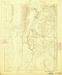
1885 · Pioche
USGS Topo · 1:250,000
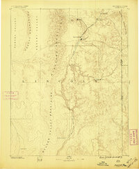
1886 · Pioche
USGS Topo · 1:250,000
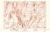
1954 · Caliente
USGS Topo · 1:250,000
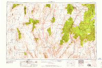
1959 · Caliente
USGS Topo · 1:250,000
1972 · Indian Cove
USGS Topo · 1:24,000
1972 · Mosey Mtn
USGS Topo · 1:24,000
1972 · Acoma
USGS Topo · 1:24,000
1972 · Eccles
USGS Topo · 1:24,000
1972 · Dow Mountain
USGS Topo · 1:24,000
1972 · Islen
USGS Topo · 1:24,000