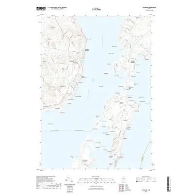
2021 Map of Islesboro
USGS Topo · Published 2021About this map
West Penobscot Bay defines the center of this coastal study, where the waters separate the mainland towns of Lincolnville and Northport from the long reach of Islesboro Island. The mainland terrain is marked by significant elevations such as Knowlton Hill and Beech Hill, while the island chain to the east includes Seven Hundred Acre Island and Warren Island. Navigation and transport are central to the area's identity, evidenced by the Margaret Chase Smith Ferry route connecting the mainland to Grindel Point. Local heritage is anchored in several established villages and settlements, including Dark Harbor, Temple Heights, and North Islesboro. Genealogists will find interest in several documented burial grounds like Saturday Cove Cem and Beech Ridge Cem, while the Islesboro Airport provides a modern link to this seafaring landscape.
Find a feature on this map
138 named features on this map. Tap any name to fly to it.
Don’t see what you’re looking for? This feature index may not catch every label — zoom into the map to look around manually.
Map Details
Editions of this 2021 Islesboro Map
This is the sole edition of this map. No revisions or reprints were ever made.
Other maps of this area

1902 · Castine
USGS Topo · 1:62,500

1904 · Castine
USGS Topo · 1:62,500

1904 · Vinalhaven
USGS Topo · 1:62,500

1904 · Rockland
USGS Topo · 1:62,500

1905 · Penobscot Bay
USGS Topo · 1:125,000

1906 · Rockland
USGS Topo · 1:62,500

1915 · Belfast
USGS Topo · 1:62,500

1917 · Belfast
USGS Topo · 1:62,500

1941 · Belfast
USGS Topo · 1:62,500

1941 · Rockland
USGS Topo · 1:62,500