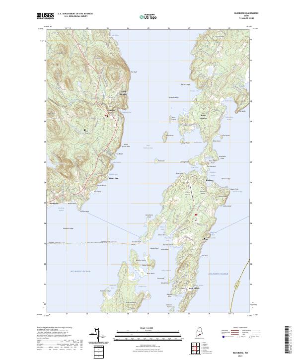
2024 Map of Islesboro
USGS Topo · Published 2024About this map
Islesboro Island dominates this nautical landscape within West Penobscot Bay, appearing as a long, narrow landmass connected by The Narrows. The island's geography is defined by its deep harbors and protected coves, supporting long-established settlements like Dark Harbor at the southern end and North Islesboro toward the center. The maritime culture of the region is evident in the Margaret Chase Smith Ferry route crossing from Lincolnville to Grindel Point. On the mainland, the terrain rises toward Knowlton Hill and Beech Hill, where small cemeteries like Saturday Cove Cem and Beech Ridge Cem mark the heritage of Waldo County. The placement of Islesboro Airport and the concentration of roads along the shoreline illustrate how the community remains oriented toward the water, with Sabbathday Harbor and Gilkey Harbor providing essential anchorage in the Atlantic Ocean.
Find a feature on this map
132 named features on this map. Tap any name to fly to it.
Don’t see what you’re looking for? This feature index may not catch every label — zoom into the map to look around manually.
Map Details
Editions of this 2024 Islesboro Map
This is the sole edition of this map. No revisions or reprints were ever made.
Other maps of this area

1902 · Castine
USGS Topo · 1:62,500

1904 · Castine
USGS Topo · 1:62,500

1904 · Vinalhaven
USGS Topo · 1:62,500

1904 · Rockland
USGS Topo · 1:62,500

1905 · Penobscot Bay
USGS Topo · 1:125,000

1906 · Rockland
USGS Topo · 1:62,500

1915 · Belfast
USGS Topo · 1:62,500

1917 · Belfast
USGS Topo · 1:62,500

1941 · Belfast
USGS Topo · 1:62,500

1941 · Rockland
USGS Topo · 1:62,500