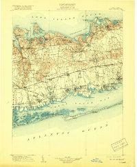
1904 Map of Islip
USGS Topo · Published 1919About this map
Lloyd Neck and Eaton Neck anchor the northern coastline of this Suffolk County landscape, where the deeply indented harbors of Huntington Bay and Smithtown Bay define the shore of the Long Island Sound. Moving south from the glacial hills of Dix Hills and Half Hollow Hills, the terrain transitions into a dense network of early 20th-century settlements and transport corridors. The Long Island Railroad's Main Line and Montauk Division facilitate the growth of villages like Central Islip, Brentwood, and Babylon. Significant institutional footprints appear at the large State Hospital and the sprawling grounds of Pinelawn Cemetery. Along the southern edge, the protected waters of Great South Bay are shielded from the Atlantic Ocean by the narrow barrier of Fire Island, where smaller landmarks like Lone Hill and Blue Point stand before the inlet.
Find a feature on this map
158 named features on this map. Tap any name to fly to it.
Don’t see what you’re looking for? This feature index may not catch every label — zoom into the map to look around manually.
Map Details
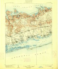
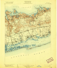
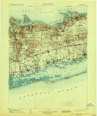
Editions of this 1904 Islip Map
5 editions found

Other maps of this area

1891 · Bridgeport
USGS Topo · 1:62,500

1892 · Stamford
USGS Topo · 1:62,500

1892 · Norwalk
USGS Topo · 1:62,500

1893 · Bridgeport
USGS Topo · 1:62,500

1893 · Stamford
USGS Topo · 1:62,500

1893 · Norwalk
USGS Topo · 1:62,500

1897 · Hempstead
USGS Topo · 1:62,500

1897 · Oyster Bay
USGS Topo · 1:62,500

1898 · Hempstead
USGS Topo · 1:62,500

1898 · Oyster Bay
USGS Topo · 1:62,500