
1904 Map of Islip
USGS Topo · Published 1904About this map
The northern shoreline of central Suffolk County is dominated by the complex estuaries of Cold Spring Harbor, Huntington Bay, and Northport Bay, where maritime activity centered around settlements like Northport and Centerport. This survey, conducted shortly after the turn of the century by U.S. Geological Survey teams, shows the established rail corridors of the Long Island R. R. feeding inland growth in Smithtown Branch and Kings Park. The geography reveals a stark contrast between the steep bluffs of the Long Island Sound and the barrier beach system of the Fire Islands sheltering the Great South Bay.
Find a feature on this map
148 named features on this map. Tap any name to fly to it.
Don’t see what you’re looking for? This feature index may not catch every label — zoom into the map to look around manually.
Map Details
Editions of this 1904 Islip Map
5 editions found
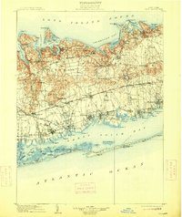
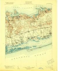
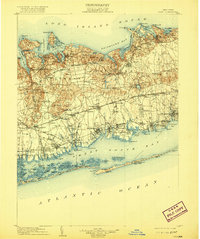
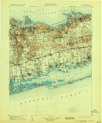
Other maps of this area

1891 · Bridgeport
USGS Topo · 1:62,500

1892 · Stamford
USGS Topo · 1:62,500

1892 · Norwalk
USGS Topo · 1:62,500

1893 · Bridgeport
USGS Topo · 1:62,500

1893 · Stamford
USGS Topo · 1:62,500

1893 · Norwalk
USGS Topo · 1:62,500

1897 · Hempstead
USGS Topo · 1:62,500

1897 · Oyster Bay
USGS Topo · 1:62,500

1898 · Hempstead
USGS Topo · 1:62,500

1898 · Oyster Bay
USGS Topo · 1:62,500