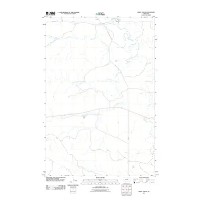
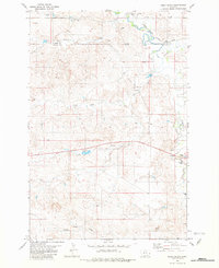
2011 Map of Ismay South
USGS Topo · Published 2011About this map
The small town of Ismay sits at the northern edge of this survey, positioned near the crossing of O'Fallon Creek and Jailhouse Rd. The landscape south of the settlement is defined by an intricate network of waterways, where Cottonwood Creek branches into its distinct North Fork and South Fork. These drainage patterns shape the local infrastructure, as seen with water management features like Hough Dam and Rieger Dam. To the south, the terrain rises toward the prominent Twin Buttes, which serve as a natural landmark in the southeastern corner of the quadrangle.
Find a feature on this map
16 named features on this map. Tap any name to fly to it.
Don’t see what you’re looking for? This feature index may not catch every label — zoom into the map to look around manually.
Map Details
Editions of this 2011 Ismay South Map
This is the sole edition of this map. No revisions or reprints were ever made.
Other maps of this area

1953 · Miles City
USGS Topo · 1:250,000

1957 · Miles City
USGS Topo · 1:250,000

1958 · Miles City
USGS Topo · 1:250,000

1981 · Baker
USGS Topo · 1:100,000
1981 · Bracket Butte
USGS Topo · 1:24,000
1981 · Loony Hollow
USGS Topo · 1:24,000
1981 · Ismay North
USGS Topo · 1:24,000

1981 · Bracket Butte SE
USGS Topo · 1:24,000

1981 · Ayer Spring
USGS Topo · 1:24,000
1981 · Ismay South
USGS Topo · 1:24,000