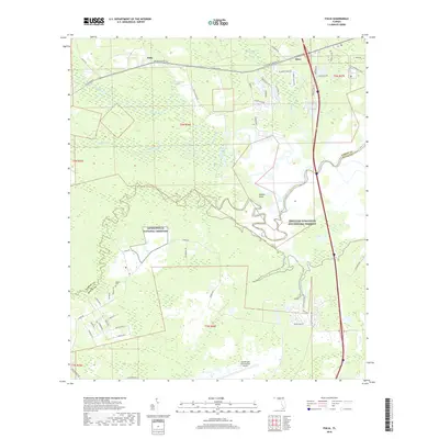
2018 Map of Italia
USGS Topo · Published 2018About this map
Nassau River and Thomas Creek wind through the extensive wetlands and marshes of the Timucuan Ecological and Historic Preserve in this landscape along the border of Duval and Nassau counties. The area is defined by its transition from the tidal waterways and points like Smiths Point to the heavily forested interior swamps, including Plummer Swamp and Tom Mann Swamp. To the west, the expansive grounds of the Jacksonville National Cemetery and the Ogilvie Cem provide specific points of interest for genealogists and local historians.
Find a feature on this map
59 named features on this map. Tap any name to fly to it.
Don’t see what you’re looking for? This feature index may not catch every label — zoom into the map to look around manually.
Map Details
Editions of this 2018 Italia Map
This is the sole edition of this map. No revisions or reprints were ever made.
Other maps of this area
1917 · Cambon
USGS Topo · 1:62,500
1917 · Hilliard
USGS Topo · 1:62,500
1918 · St Marys
USGS Topo · 1:62,500
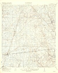
1918 · Cambon
USGS Topo · 1:62,500
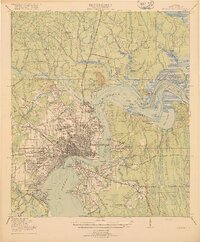
1918 · Jacksonville
USGS Topo · 1:62,500
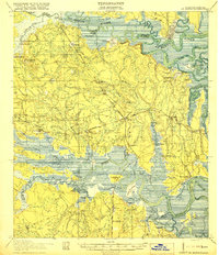
1919 · St Marys
USGS Topo · 1:62,500
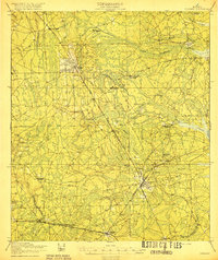
1919 · Hilliard
USGS Topo · 1:62,500
1948 · Jacksonville
USGS Topo · 1:250,000
1948 · Eastport
USGS Topo · 1:24,000
1950 · Trout River
USGS Topo · 1:24,000