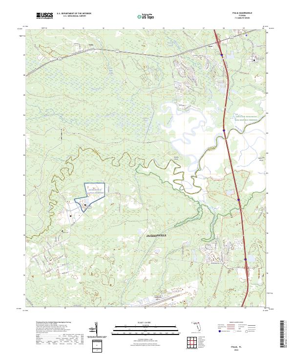
2024 Map of Italia
USGS Topo · Published 2024About this map
Jacksonville National Cem and the Ogilvie Cem anchor the northern rural reaches of Jacksonville, where the landscape transitions into the intricate wetlands of the Nassau River. This coastal plain environment is defined by the winding course of Thomas Creek and the expansive Plummer Swamp, reflecting a region where modern infrastructure meets protected conservation areas.
Find a feature on this map
78 named features on this map. Tap any name to fly to it.
Don’t see what you’re looking for? This feature index may not catch every label — zoom into the map to look around manually.
Map Details
Editions of this 2024 Italia Map
This is the sole edition of this map. No revisions or reprints were ever made.
Other maps of this area

1917 · Cambon
USGS Topo · 1:62,500

1917 · Hilliard
USGS Topo · 1:62,500

1918 · St Marys
USGS Topo · 1:62,500

1918 · Cambon
USGS Topo · 1:62,500

1918 · Jacksonville
USGS Topo · 1:62,500

1919 · St Marys
USGS Topo · 1:62,500

1919 · Hilliard
USGS Topo · 1:62,500

1948 · Jacksonville
USGS Topo · 1:250,000

1948 · Eastport
USGS Topo · 1:24,000

1950 · Trout River
USGS Topo · 1:24,000