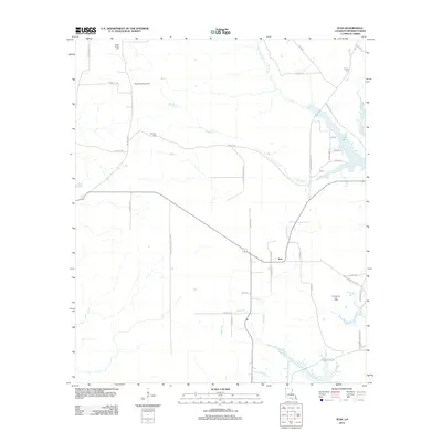
2012 Map of Ivan
USGS Topo · Published 2012About this map
Ivan sits at the heart of this Bossier Parish landscape, an area defined by its energy production and rural family heritage. The map documents the extensive Rocky Mount Gas Field to the northwest and the Ivan Oil and Gas Field toward the southeast, illustrating the industrial footprint of the petroleum industry on the Louisiana countryside. These fields are interconnected by a network of specialized routes like Phillips Oil Company Rd and the straight-line path of Tram Rd.
Find a feature on this map
43 named features on this map. Tap any name to fly to it.
Don’t see what you’re looking for? This feature index may not catch every label — zoom into the map to look around manually.
Map Details
Editions of this 2012 Ivan Map
This is the sole edition of this map. No revisions or reprints were ever made.
Other maps of this area

1922 · Sarepta
USGS Topo · 1:62,500

1924 · Sarepta
USGS Topo · 1:62,500

1932 · Bossier NE
USGS Topo · 1:31,680

1932 · Bossier NW
USGS Topo · 1:31,680

1947 · Minden
USGS Topo · 1:62,500

1948 · Bossier City
USGS Topo · 1:62,500

1949 · Minden
USGS Topo · 1:62,500

1950 · Plain Dealing SW
USGS Topo · 1:31,680

1950 · Plain Dealing NE
USGS Topo · 1:31,680

1950 · Plain Dealing SE
USGS Topo · 1:31,680