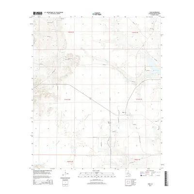
2015 Map of Ivan
USGS Topo · Published 2015About this map
The small community of Ivan serves as a quiet center for this Bossier Parish landscape, where the terrain is defined by an intricate network of creeks and sloughs. The presence of multiple family and community burial grounds, such as Smith-Gilmer Cem, Emma Cem, Graham Cem, and Pilgrim Home Cem, indicates a long-standing pattern of rural settlement and genealogical heritage. These sites are scattered across a landscape drained by Phillips Cr and the meandering Crossway Slu in the southwest.
Find a feature on this map
42 named features on this map. Tap any name to fly to it.
Don’t see what you’re looking for? This feature index may not catch every label — zoom into the map to look around manually.
Map Details
Editions of this 2015 Ivan Map
This is the sole edition of this map. No revisions or reprints were ever made.
Other maps of this area
1922 · Sarepta
USGS Topo · 1:62,500
1924 · Sarepta
USGS Topo · 1:62,500
1932 · Bossier NE
USGS Topo · 1:31,680
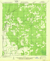
1932 · Bossier NW
USGS Topo · 1:31,680
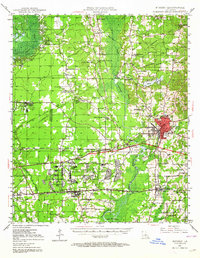
1947 · Minden
USGS Topo · 1:62,500
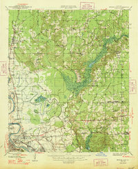
1948 · Bossier City
USGS Topo · 1:62,500
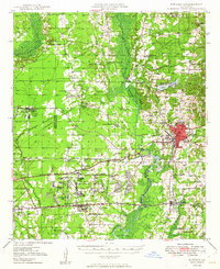
1949 · Minden
USGS Topo · 1:62,500
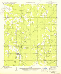
1950 · Plain Dealing SW
USGS Topo · 1:31,680
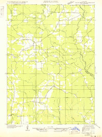
1950 · Plain Dealing NE
USGS Topo · 1:31,680
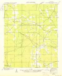
1950 · Plain Dealing SE
USGS Topo · 1:31,680