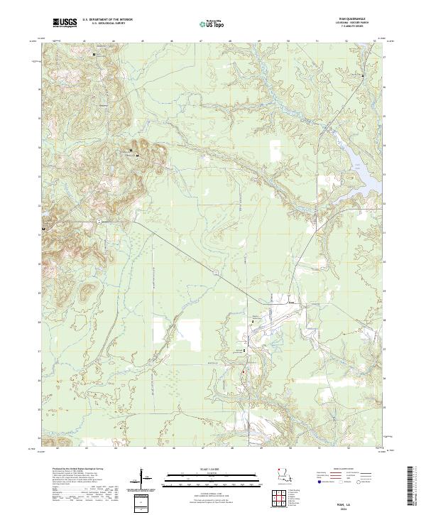
2024 Map of Ivan
USGS Topo · Published 2024About this map
Ivan serves as a central hub in this Bossier Parish landscape, where the terrain is defined by a complex network of slow-moving waterways and historic family burial grounds. The hydrologic character of the region is shaped by Crossway Slough and the winding course of Phillips Creek, which eventually feeds toward the recreational waters of Ivan Lake. This area retains a strong connection to its early rural communities, evidenced by the numerous cemeteries and churches that dot the landscape, such as Pilgrim Home Cem and Aimwell Church Cem. The road network, including names like Emma Cemetery Rd and Bodcau Dam Rd, reflects a history of local land use tied to both communal memory and the management of the surrounding wetlands and timber tracts. Researchers can trace the layout of early townships through the established range and township lines that organize these northeastern Louisiana woodlands.
Find a feature on this map
49 named features on this map. Tap any name to fly to it.
Don’t see what you’re looking for? This feature index may not catch every label — zoom into the map to look around manually.
Map Details
Editions of this 2024 Ivan Map
This is the sole edition of this map. No revisions or reprints were ever made.
Other maps of this area

1922 · Sarepta
USGS Topo · 1:62,500

1924 · Sarepta
USGS Topo · 1:62,500

1932 · Bossier NE
USGS Topo · 1:31,680

1932 · Bossier NW
USGS Topo · 1:31,680

1947 · Minden
USGS Topo · 1:62,500

1948 · Bossier City
USGS Topo · 1:62,500

1949 · Minden
USGS Topo · 1:62,500

1950 · Plain Dealing SW
USGS Topo · 1:31,680

1950 · Plain Dealing NE
USGS Topo · 1:31,680

1950 · Plain Dealing SE
USGS Topo · 1:31,680