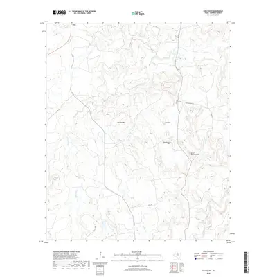
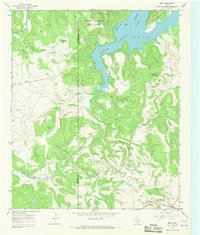
2019 Map of Ivan South
USGS Topo · Published 2019About this map
Ivan sits at the northern edge of this North Texas landscape, where the road network of FM 717 and Ranch Rd 33 connects remote ranchlands. The topography is defined by a series of prominent peaks and ridges, including Lime Rock Mtn, Coon Mtn, and the evocatively named Devils Reservation Mtn. These elevations overlook a complex drainage system where Sandy Cr and Little Cedar Cr carve through the terrain.
Find a feature on this map
26 named features on this map. Tap any name to fly to it.
Don’t see what you’re looking for? This feature index may not catch every label — zoom into the map to look around manually.
Map Details
Editions of this 2019 Ivan South Map
This is the sole edition of this map. No revisions or reprints were ever made.
Other maps of this area
1890 · Breckenridge
USGS Topo · 1:125,000
1924 · Breckenridge 1-a
USGS Topo · 1:48,000
1924 · Breckenridge 1-d
USGS Topo · 1:48,000
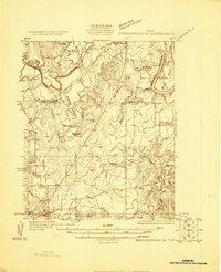
1925 · Breckenridge 1-b
USGS Topo · 1:48,000
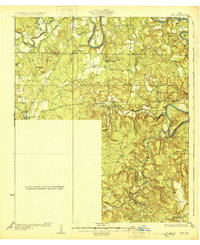
1931 · Ivan
USGS Topo · 1:62,500

1954 · Abilene
USGS Topo · 1:250,000

1958 · Abilene
USGS Topo · 1:250,000
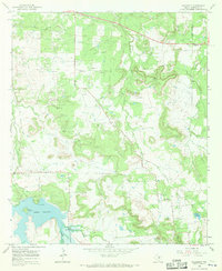
1967 · Necessity
USGS Topo · 1:24,000
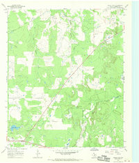
1967 · Grand Lake
USGS Topo · 1:24,000
1967 · Brad
USGS Topo · 1:24,000