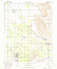
1950 Map of Ivanhoe
USGS Topo · Published 1976About this map
Ivanhoe and the surrounding Tulare County agricultural landscape are depicted during a period of significant water infrastructure development. The massive Friant Kern Canal skirts the base of Colvin Mountain, while an intricate network of local irrigation works like the Sontag Ditch and Wutchumna Ditch service the valley floor. Transportation patterns are defined by the competing routes of the Southern Pacific and the Atchison Topeka and Santa Fe railroads, which facilitated the growth of citrus and fruit-packing settlements such as Hillmaid and Redbanks. Local community life is anchored by landmarks like Paloma School, St Maries Church, and the Lone Oak Cem. The presence of the County Industrial Camp and several sewage and gravel operations near the Ketchum River Slough reflect the evolving industrial needs of the mid-20th-century Central Valley.
Find a feature on this map
31 named features on this map. Tap any name to fly to it.
Don’t see what you’re looking for? This feature index may not catch every label — zoom into the map to look around manually.
Map Details
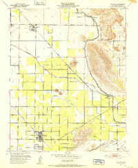
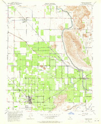
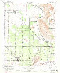
Editions of this 1950 Ivanhoe Map
4 editions found
Other maps of this area

1921 · Stokes Mountain
USGS Topo · 1:24,000

1922 · Trimmer
USGS Topo · 1:96,000

1923 · Sultana
USGS Topo · 1:31,680

1924 · Dinuba
USGS Topo · 1:125,000

1924 · Stokes Mountain
USGS Topo · 1:31,680

1925 · Rocky Hill
USGS Topo · 1:31,680

1926 · Ivanhoe
USGS Topo · 1:31,680

1926 · Exeter
USGS Topo · 1:31,680

1927 · Monson
USGS Topo · 1:31,680

1927 · Rocky Hill
USGS Topo · 1:31,680