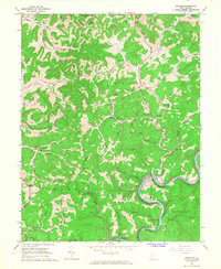
1966 Map of Ivydale
USGS Topo · Published 1968About this map
The Baltimore and Ohio railroad tracks follow the winding course of the Elk River as it cuts through the center of this 1960s West Virginia landscape. The settlement of Ivydale sits at a sharp river bend, serving as a focal point for a region characterized by deep hollows and high ridges like Horse Ridge and McColgan Ridge. Small communities and family-named landmarks are scattered throughout the terrain, including the Otterlick Community and the distinctively named Little Italy.
Find a feature on this map
80 named features on this map. Tap any name to fly to it.
Don’t see what you’re looking for? This feature index may not catch every label — zoom into the map to look around manually.
Map Details
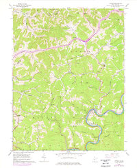
Editions of this 1966 Ivydale Map
2 editions found
Other maps of this area

1889 · Nicholas
USGS Topo · 1:125,000

1891 · Nicholas
USGS Topo · 1:125,000

1893 · Sutton
USGS Topo · 1:125,000

1897 · Kanawha Falls
USGS Topo · 1:125,000

1900 · Kanawha Falls
USGS Topo · 1:125,000

1901 · Nicholas
USGS Topo · 1:125,000

1901 · Kanawha Falls
USGS Topo · 1:125,000

1906 · Otter
USGS Topo · 1:62,500

1907 · Otter
USGS Topo · 1:62,500

1908 · Clay
USGS Topo · 1:48,000