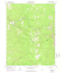
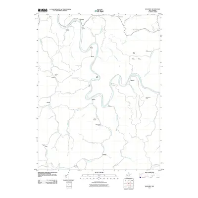
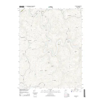
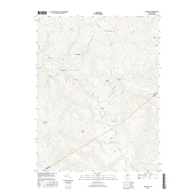
1966 Map of Ivydale
USGS Topo · Published 1977About this map
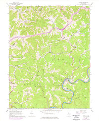
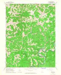
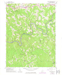
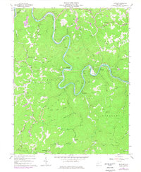
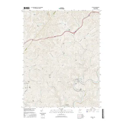
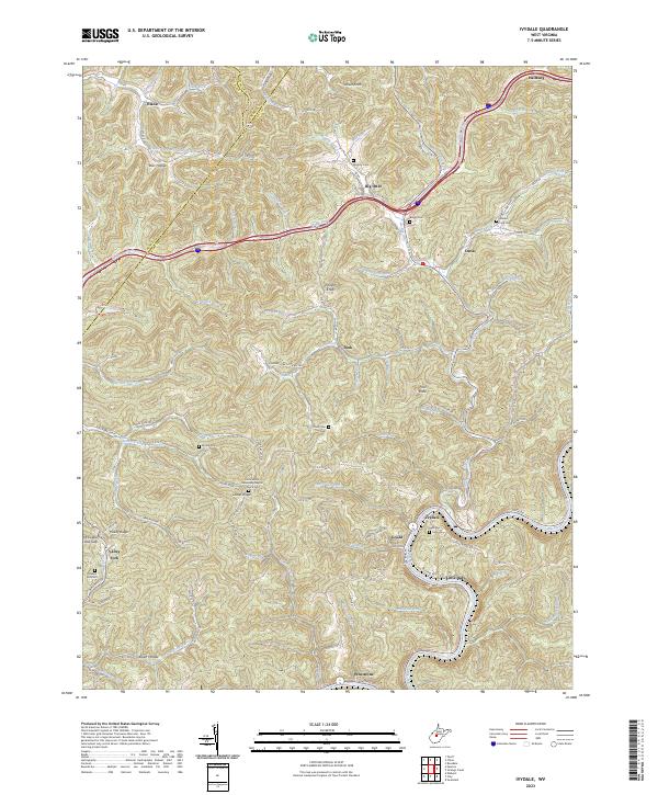
The Elk River winds through the southern portion of this West Virginia landscape, providing a vital corridor for the Baltimore and Ohio railroad and established riverfront communities. Small settlements like Ivydale, Gould, and Little Italy dot the valley floor, while numerous gas and oil wells suggest a landscape defined by resource extraction. Away from the river, the terrain rises into a series of ridges and hollows, where life centered around landmarks like White Pilgrim Ch and the Otterlick Community. The topography is marked by distinct summits such as Velvet Knob and Pilot Knob, while narrow waterways like Big Sandy Creek and Otter Creek carve deep into the hills. Transportation patterns are seen evolving through the mid-1970s with the construction of Interstate 79, which cuts a modern path across the traditional creek-side settlements of Dink and Otterville.
Find a feature on this map
82 named features on this map. Tap any name to fly to it.
Don’t see what you’re looking for? This feature index may not catch every label — zoom into the map to look around manually.
Map Details
Editions of this 1966 Ivydale Map
2 editions found
Historical Maps of Elana Through Time
31 maps found
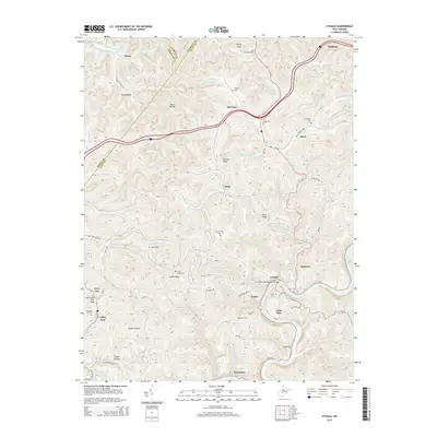
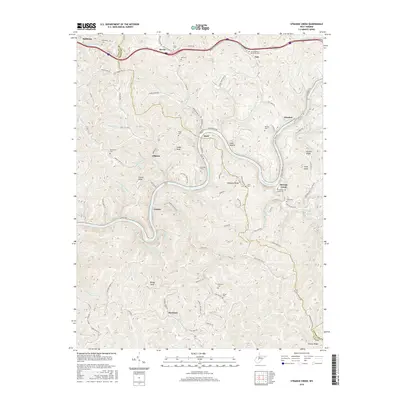
1965 Strange Creek
Clay County, WV
1966 Ivydale
Clay County, WV

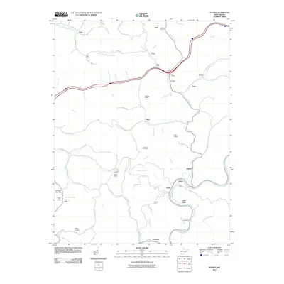
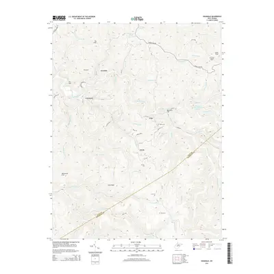
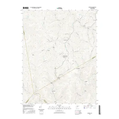
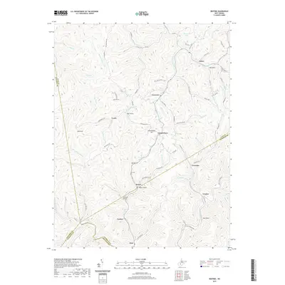
1967 Bentree
Clay County, WV
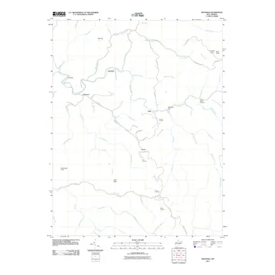
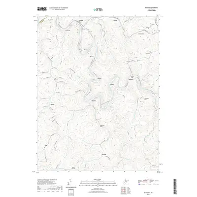
1967 Elkhurst
Clay County, WV
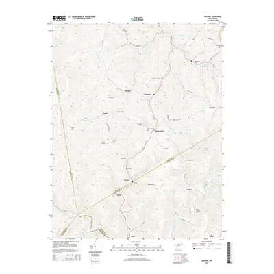
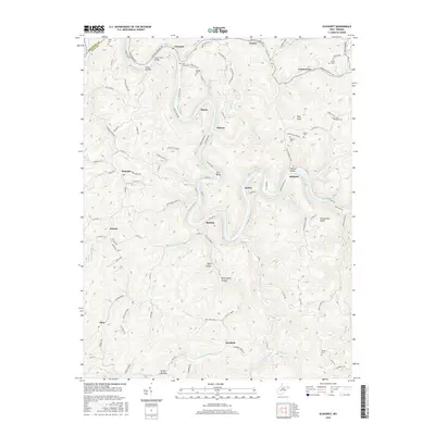
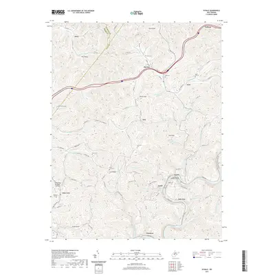
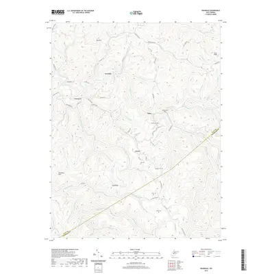
1967 Swandale
Clay County, WV
1996 Bentree
Clay County, WV
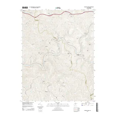
2010 Strange Creek
Clay County, WV
2011 Bentree
Clay County, WV
2011 Elkhurst
Clay County, WV
2011 Ivydale
Clay County, WV
2011 Swandale
Clay County, WV
2014 Bentree
Clay County, WV
2014 Elkhurst
Clay County, WV
2014 Ivydale
Clay County, WV
2014 Strange Creek
Clay County, WV
2014 Swandale
Clay County, WV
2016 Bentree
Clay County, WV
2016 Elkhurst
Clay County, WV
2016 Ivydale
Clay County, WV
2016 Strange Creek
Clay County, WV
2016 Swandale
Clay County, WV
2019 Bentree
Clay County, WV
2019 Elkhurst
Clay County, WV
2019 Ivydale
Clay County, WV
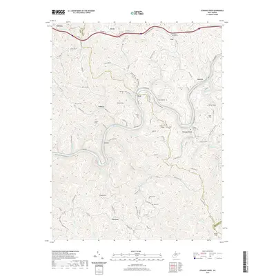
2019 Strange Creek
Clay County, WV
2019 Swandale
Clay County, WV
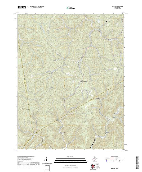
2023 Bentree
Clay County, WV
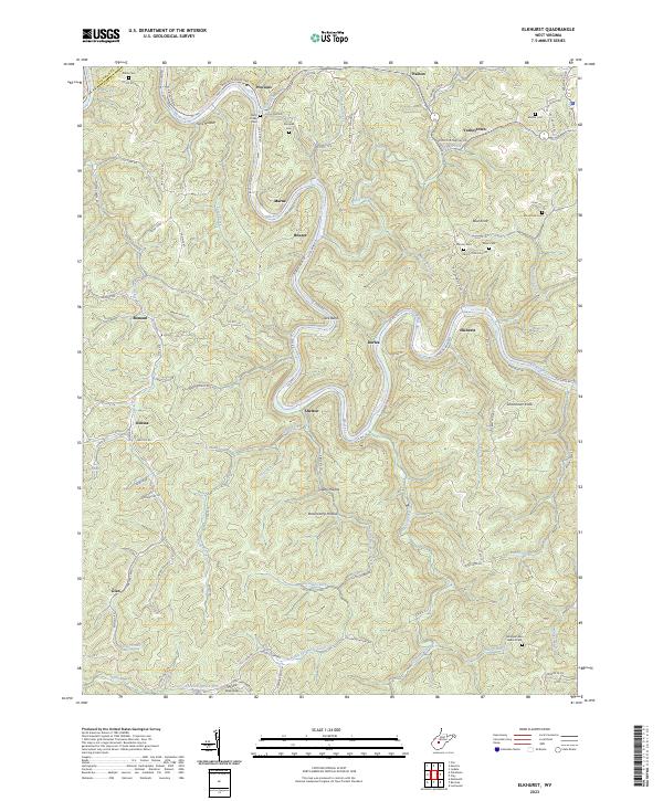
2023 Elkhurst
Clay County, WV
2023 Ivydale
Clay County, WV
2023 Strange Creek
Clay County, WV
2023 Swandale
Clay County, WV