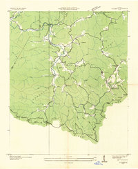
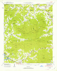
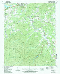
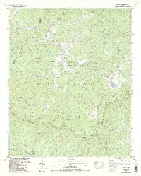
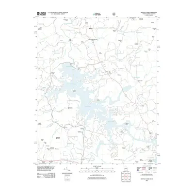
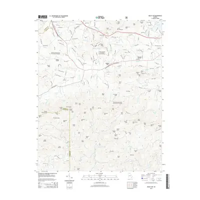
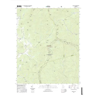
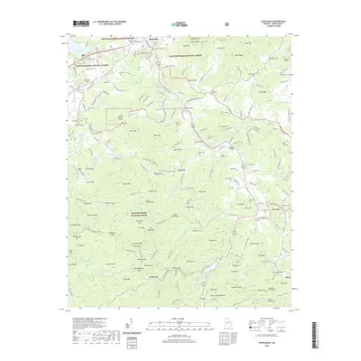
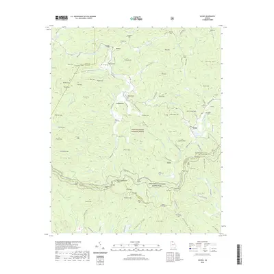
1941 Map of Ivylog
USGS Topo · Published 1963About this map
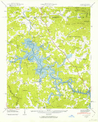
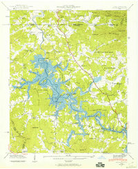
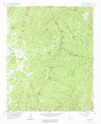
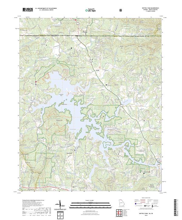
Nottely Lake dominates this 1941 landscape, with its branching waters filling the valleys of the Nottely River and its numerous tributaries like Youngcane Creek and Ivylog Creek. The completion of the Nottely Dam significantly altered the local geography, as evidenced by the indicated reservation boundaries and the submerged areas surrounding Horseshoe Bend and Hyatt Bend. While many rural industries remained active, such as Seabolt Mill and Tate Mill, the rising waters necessitated the relocation of infrastructure, shown here with crossings like Smith Bridge and McBee Bridge. The map records a transition from traditional mountain farming to a regulated reservoir system. Scattered settlements like Ivylog and Bethlehem serve as anchors for the community, supported by local institutions including Bethany Ch and Providence Sch. To the north, the terrain rises toward Moccasin Mountain and the border with North Carolina.
Find a feature on this map
84 named features on this map. Tap any name to fly to it.
Don’t see what you’re looking for? This feature index may not catch every label — zoom into the map to look around manually.
Map Details
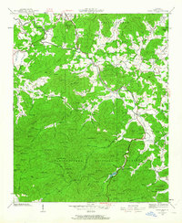
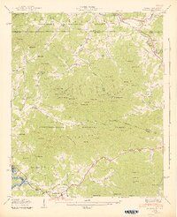
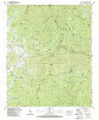
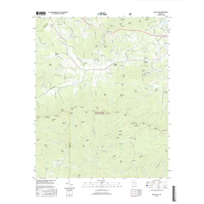
Editions of this 1941 Ivylog Map
2 editions found
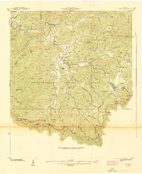
Historical Maps of Bethlehem Through Time
49 maps found

1935 Coosa Bald
Union County, GA
1935 Gumlog
Union County, GA

1935 Ivylog
Union County, GA

1935 Jacks Gap
Union County, GA
1935 Mulky Gap
Union County, GA
1935 Suches
Union County, GA
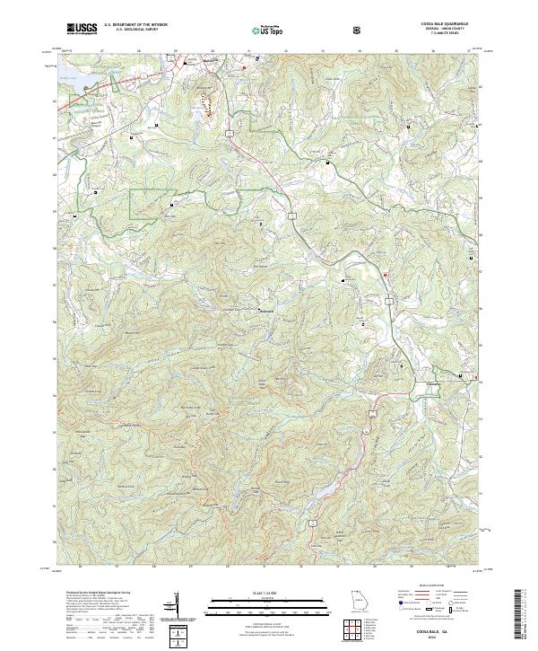
1938 Coosa Bald
Union County, GA

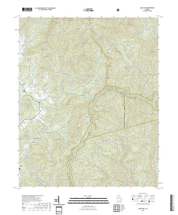
1938 Jacks Gap
Union County, GA
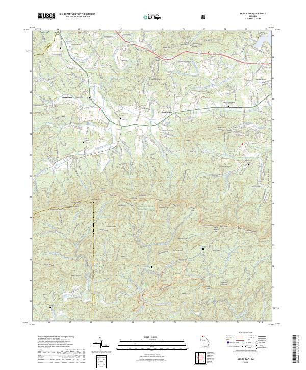
1938 Mulky Gap
Union County, GA
1938 Suches
Union County, GA
1941 Gumlog
Union County, GA
1941 Ivylog
Union County, GA
1942 Gumlog
Union County, GA
1942 Ivylog
Union County, GA
1950 Suches
Union County, GA
1957 Jacks Gap
Union County, GA
1965 Coosa Bald
Union County, GA
1965 Mulky Gap
Union County, GA
1966 Nottely Dam
Union County, GA
1988 Coosa Bald
Union County, GA
1988 Jacks Gap
Union County, GA
1988 Mulky Gap
Union County, GA
1988 Nottely Dam
Union County, GA
1988 Suches
Union County, GA
2011 Coosa Bald
Union County, GA
2011 Jacks Gap
Union County, GA
2011 Mulky Gap
Union County, GA
2011 Nottely Dam
Union County, GA
2011 Suches
Union County, GA
2014 Coosa Bald
Union County, GA
2014 Jacks Gap
Union County, GA
2014 Mulky Gap
Union County, GA
2014 Nottely Dam
Union County, GA
2014 Suches
Union County, GA
2017 Coosa Bald
Union County, GA
2017 Jacks Gap
Union County, GA
2017 Mulky Gap
Union County, GA
2017 Nottely Dam
Union County, GA
2017 Suches
Union County, GA
2020 Coosa Bald
Union County, GA
2020 Jacks Gap
Union County, GA
2020 Mulky Gap
Union County, GA
2020 Nottely Dam
Union County, GA
2020 Suches
Union County, GA
2024 Coosa Bald
Union County, GA
2024 Jacks Gap
Union County, GA
2024 Mulky Gap
Union County, GA
2024 Nottely Dam
Union County, GA
2024 Suches
Union County, GA