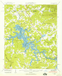
1941 Map of Ivylog
USGS Topo · Published 1960About this map
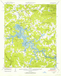
Nottely Lake dominates this 1941 landscape, which captured the region just as the Tennessee Valley Authority was transforming the Nottely River valley. The map delineates the Nottely Reservation Boundary, showing the intricate shoreline as it began to fill behind the Nottely Dam. This transition from a river-bottom economy to a reservoir environment is evident in the numerous family-named mills such as Lance Mill, Seabolt Mill, and Yates Mill that once served the agricultural community.
Find a feature on this map
89 named features on this map. Tap any name to fly to it.
Don’t see what you’re looking for? This feature index may not catch every label — zoom into the map to look around manually.
Map Details
Editions of this 1941 Ivylog Map
2 editions found
Other maps of this area

1886 · Dahlonega
USGS Topo · 1:125,000

1888 · Ellijay
USGS Topo · 1:125,000

1892 · Dahlonega
USGS Topo · 1:125,000

1892 · Ellijay
USGS Topo · 1:125,000

1893 · Murphy
USGS Topo · 1:125,000

1896 · Dahlonega
USGS Topo · 1:125,000

1898 · Ellijay
USGS Topo · 1:125,000

1903 · Dahlonega
USGS Topo · 1:125,000

1911 · Ellijay
USGS Topo · 1:125,000

1914 · Murphy
USGS Topo · 1:125,000