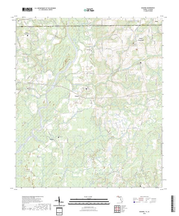
2024 Map of Izagora
USGS Topo · Published 2024About this map
The Choctawhatchee River winds through this landscape on the Alabama-Florida border, serving as a primary geographical anchor for the rural communities of Izagora and Pittman. The terrain is characterized by a dense network of watercourses, including the Whitewater Branch, Sikes Creek, and the uniquely named River Nines. These waterways drain into the river's floodplain, which is traced by the Choctawhatchee River Blueway Trail. This area reflects a long-standing pattern of dispersed agricultural settlement, where small crossroad communities are centered around community landmarks.
Find a feature on this map
92 named features on this map. Tap any name to fly to it.
Don’t see what you’re looking for? This feature index may not catch every label — zoom into the map to look around manually.
Map Details
Editions of this 2024 Izagora Map
This is the sole edition of this map. No revisions or reprints were ever made.
Other maps of this area

1942 · Enterprise
USGS Topo · 1:125,000

1949 · Hobbs Crossroads
USGS Topo · 1:24,000

1949 · Caryville
USGS Topo · 1:24,000

1950 · Hobbs Cross Roads
USGS Topo · 1:24,000

1950 · Prosperity
USGS Topo · 1:24,000

1950 · Caryville
USGS Topo · 1:24,000

1950 · Izagora
USGS Topo · 1:24,000

1950 · Esto
USGS Topo · 1:24,000

1951 · Esto
USGS Topo · 1:24,000

1951 · Bonifay
USGS Topo · 1:24,000