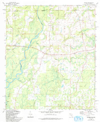
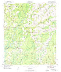
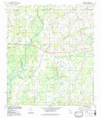
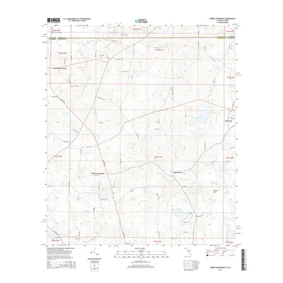
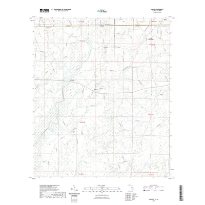
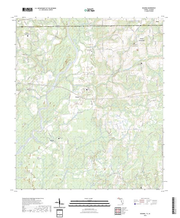
1982 Map of Izagora
USGS Topo · Published 1993About this map
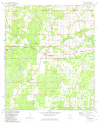
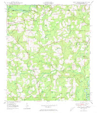
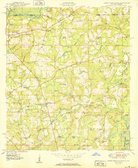
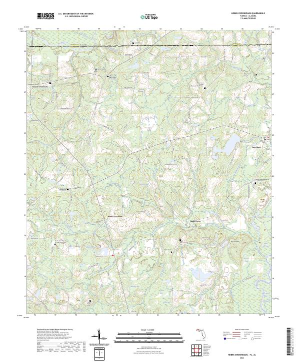
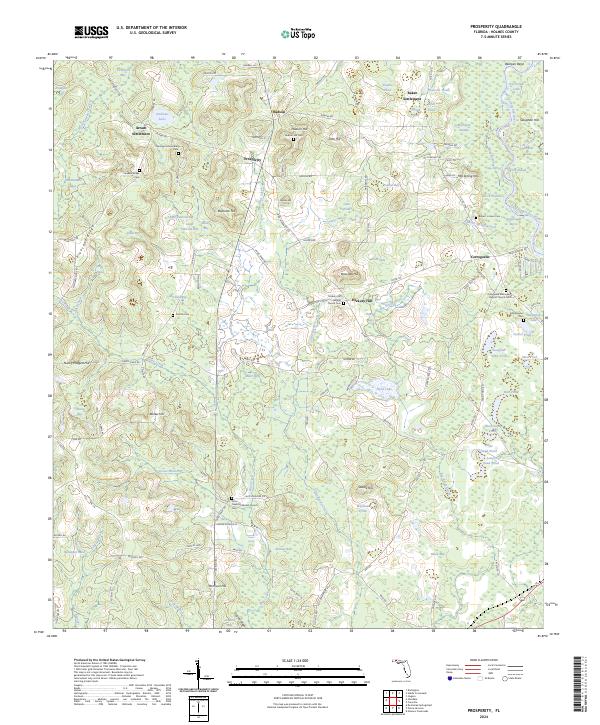
The Choctawhatchee River defines this landscape on the Florida-Alabama border, its winding course featuring the distinctive Alberson Stretch and various side channels like River Nines. Small agricultural settlements and community hubs are scattered throughout the Holmes County backcountry, including Izagora, Pittman, and Limestone. These rural centers are often anchored by local houses of worship such as Pittman Creek Ch, Cedar Grove Ch, and Mt Ida Ch.
Find a feature on this map
42 named features on this map. Tap any name to fly to it.
Don’t see what you’re looking for? This feature index may not catch every label — zoom into the map to look around manually.
Map Details
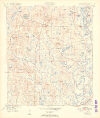
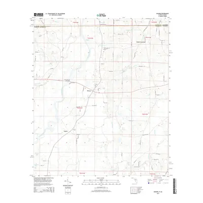
Editions of this 1982 Izagora Map
2 editions found
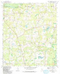
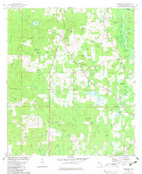
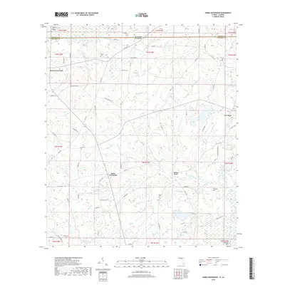
Historical Maps of Black Through Time
23 maps found
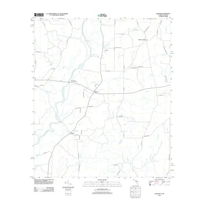
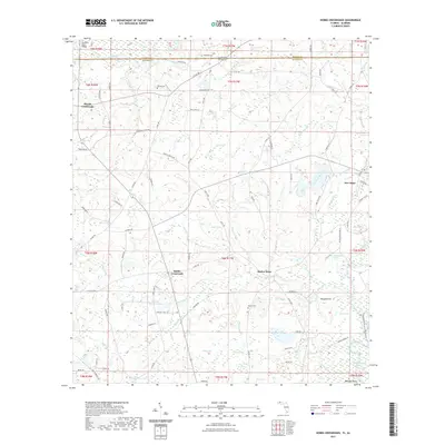
1949 Hobbs Crossroads
Holmes County, FL
1950 Hobbs Cross Roads
Holmes County, FL
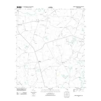
1950 Izagora
Holmes County, FL
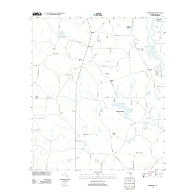
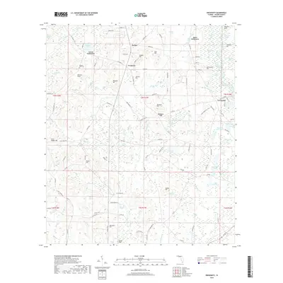
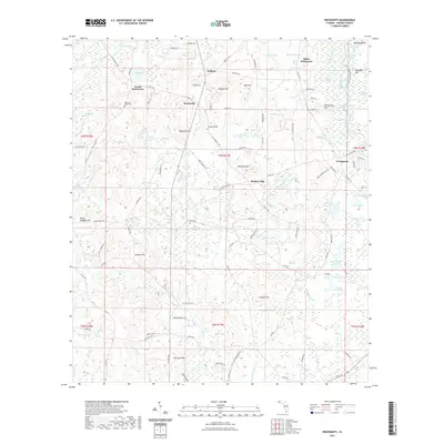
1950 Prosperity
Holmes County, FL
1982 Hobbs Crossroads
Holmes County, FL
1982 Izagora
Holmes County, FL
1982 Prosperity
Holmes County, FL
1994 Izagora
Holmes County, FL
2012 Hobbs Crossroads
Holmes County, FL
2012 Izagora
Holmes County, FL
2012 Prosperity
Holmes County, FL
2015 Hobbs Crossroads
Holmes County, FL
2015 Izagora
Holmes County, FL

2015 Prosperity
Holmes County, FL
2018 Hobbs Crossroads
Holmes County, FL
2018 Izagora
Holmes County, FL
2018 Prosperity
Holmes County, FL
2021 Hobbs Crossroads
Holmes County, FL
2021 Izagora
Holmes County, FL
2021 Prosperity
Holmes County, FL
2024 Hobbs Crossroads
Holmes County, FL
2024 Izagora
Holmes County, FL
2024 Prosperity
Holmes County, FL