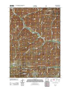
2011 Map of Izee
USGS Topo · Published 2011About this map
The South Fork John Day River winds through this Grant County landscape, serving as the primary geographical axis for several cattle operations and the small settlement of Izee. The map documents a sparse, high-country ranching economy characterized by dispersed family holdings such as the Keerins Ranch, Brisbois Ranch, and the H H Trowbridge Ranch. These ranches are often located near water sources like Morgan Creek or tucked into protected areas like Sock Hollow and Walker Gulch.
Find a feature on this map
48 named features on this map. Tap any name to fly to it.
Don’t see what you’re looking for? This feature index may not catch every label — zoom into the map to look around manually.
Map Details
Editions of this 2011 Izee Map
This is the sole edition of this map. No revisions or reprints were ever made.
Other maps of this area
1932 · Dayville
USGS Topo · 1:125,000
1936 · Dayville
USGS Topo · 1:125,000
1955 · Burns
USGS Topo · 1:250,000
1955 · Canyon City
USGS Topo · 1:250,000
1958 · Burns
USGS Topo · 1:250,000
1959 · Burns
USGS Topo · 1:250,000
1959 · Canyon City
USGS Topo · 1:250,000
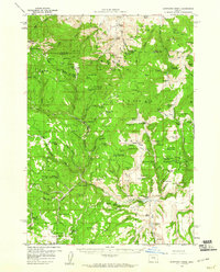
1959 · Sawtooth Creek
USGS Topo · 1:62,500
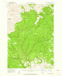
1961 · Delintment Lake
USGS Topo · 1:62,500
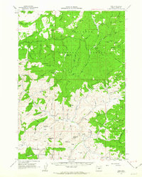
1961 · Izee
USGS Topo · 1:62,500