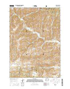
2014 Map of Izee
USGS Topo · Published 2014About this map
The Izee settlement occupies a remote high-elevation basin in eastern Oregon, serving as a focal point for ranching and forest management. Situated at the junction of the S Fork John Day River and several drainages like Poison Cr and Buck Cr, this area is defined by the sharp transition between valley bottomlands and the timbered slopes of the Malhuer National Forest. Genealogists will find the Izee Cem located just west of the town center, while names like Schoolhouse Gulch and Moonshine Alley offer clues to the local geography and historical social patterns. The terrain is characterized by prominent peaks including Harrison Mtn and Morgan Mtn, which overlook a network of forest development roads and traditional travel routes like Izee-Paulina Ln. Drainage patterns are complex here, with features such as Waterspout Draw and Brisbois Gulch feeding into the river system.
Find a feature on this map
55 named features on this map. Tap any name to fly to it.
Don’t see what you’re looking for? This feature index may not catch every label — zoom into the map to look around manually.
Map Details
Editions of this 2014 Izee Map
This is the sole edition of this map. No revisions or reprints were ever made.
Other maps of this area
1932 · Dayville
USGS Topo · 1:125,000
1936 · Dayville
USGS Topo · 1:125,000
1955 · Burns
USGS Topo · 1:250,000
1955 · Canyon City
USGS Topo · 1:250,000
1958 · Burns
USGS Topo · 1:250,000
1959 · Burns
USGS Topo · 1:250,000
1959 · Canyon City
USGS Topo · 1:250,000
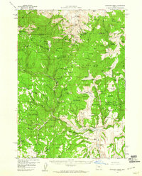
1959 · Sawtooth Creek
USGS Topo · 1:62,500
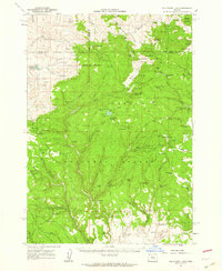
1961 · Delintment Lake
USGS Topo · 1:62,500
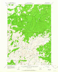
1961 · Izee
USGS Topo · 1:62,500