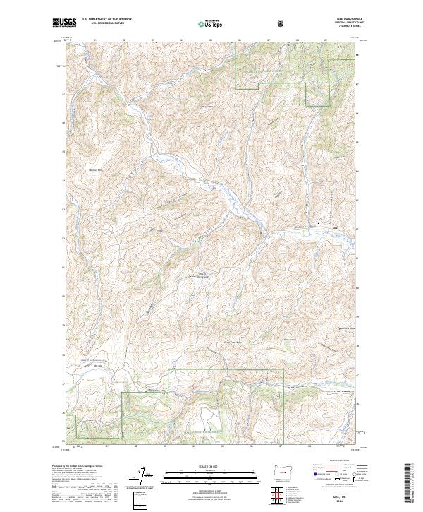
2024 Map of Izee
USGS Topo · Published 2024About this map
The South Fork John Day River winds through this section of Grant County, anchoring a landscape of deep gulches and prominent buttes within the Malheur National Forest. The small settlement of Izee serves as a local focal point, situated near the intersection of the Izee Hwy and Izee-Paulina Ln. To the west, the high plateau of Big Flat marks a distinct shift in the terrain. Genealogists and local historians will find the Izee Cem near the confluence of Izee Creek and the river, while descriptive place names like Moonshine Alley, Snake Den, and Hole-in-the Ground suggest a colorful local history tied to the land's complex topography. The map detail highlights how early travel routes followed natural corridors like Schoolhouse Gulch and Brisbois Gulch to navigate between peaks such as Morgan Mtn and Harrison Mtn.
Find a feature on this map
49 named features on this map. Tap any name to fly to it.
Don’t see what you’re looking for? This feature index may not catch every label — zoom into the map to look around manually.
Map Details
Editions of this 2024 Izee Map
This is the sole edition of this map. No revisions or reprints were ever made.
Other maps of this area

1932 · Dayville
USGS Topo · 1:125,000

1936 · Dayville
USGS Topo · 1:125,000

1955 · Burns
USGS Topo · 1:250,000

1955 · Canyon City
USGS Topo · 1:250,000

1958 · Burns
USGS Topo · 1:250,000

1959 · Burns
USGS Topo · 1:250,000

1959 · Canyon City
USGS Topo · 1:250,000

1959 · Sawtooth Creek
USGS Topo · 1:62,500

1961 · Delintment Lake
USGS Topo · 1:62,500

1961 · Izee
USGS Topo · 1:62,500