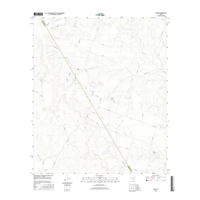
2016 Map of Izoro
USGS Topo · Published 2016About this map
Izoro stands at the heart of this central Texas landscape, where the border between Coryell and Lampasas counties is defined by a diagonal property line running through the creek-dissected terrain. The area is characterized by a high concentration of water sources, including Dumas Spring, Soldiers Spring, and Draper Spring, which historically dictated the pattern of ranching and settlement in this portion of the Edwards Plateau. The drainage network is complex, with headwaters for S Bee House Cr and N Table Rock Cr carving out landforms like the distinct Plum Hollow. Cultural markers such as Hillsdale Cem and the naming of local roads after families—like Marriott Rd, Nelson Lee Rd, and Gandy Rd—offer a clear window into the ancestral landholding patterns of the region.
Find a feature on this map
52 named features on this map. Tap any name to fly to it.
Don’t see what you’re looking for? This feature index may not catch every label — zoom into the map to look around manually.
Map Details
Editions of this 2016 Izoro Map
This is the sole edition of this map. No revisions or reprints were ever made.
Other maps of this area
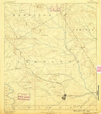
1887 · Lampasas
USGS Topo · 1:125,000
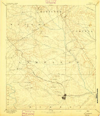
1894 · Lampasas
USGS Topo · 1:125,000
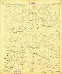
1894 · Gatesville
USGS Topo · 1:125,000
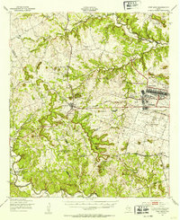
1947 · Fort Hood
USGS Topo · 1:62,500
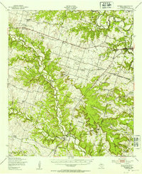
1947 · Purmela
USGS Topo · 1:62,500
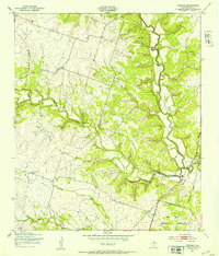
1947 · Pidcoke
USGS Topo · 1:24,000
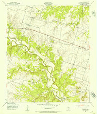
1947 · Purmela
USGS Topo · 1:24,000
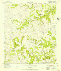
1947 · Twin Moutains
USGS Topo · 1:24,000

1954 · Brownwood
USGS Topo · 1:250,000
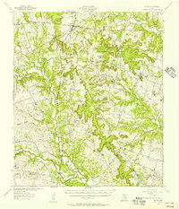
1954 · Evant
USGS Topo · 1:62,500