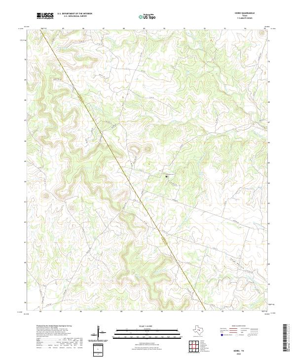
2022 Map of Izoro
USGS Topo · Published 2022About this map
The boundary between Coryell Co and Lampasas Co bisects this rural landscape, carving a diagonal line across a terrain defined by limestone draws and scattered springs. Central to this topography is the Hillsdale Cem, a localized landmark situated near the junction of Hillsdale Rd and Slater Rd. The hydrology of the area is particularly complex, featuring numerous named water sources such as Draper Spring, Dumas Spring, and Soldiers Spring, which feed into a network of seasonal drainages including S Bee House Cr and Plum Hollow. This network of small creeks and draws suggests a settlement pattern historically reliant on localized water access, with family-named roads like Daughterly Rd and Marriott Rd tracing the high ground between the watercourses.
Find a feature on this map
53 named features on this map. Tap any name to fly to it.
Don’t see what you’re looking for? This feature index may not catch every label — zoom into the map to look around manually.
Map Details
Editions of this 2022 Izoro Map
This is the sole edition of this map. No revisions or reprints were ever made.
Other maps of this area

1887 · Lampasas
USGS Topo · 1:125,000

1894 · Lampasas
USGS Topo · 1:125,000

1894 · Gatesville
USGS Topo · 1:125,000

1947 · Fort Hood
USGS Topo · 1:62,500

1947 · Purmela
USGS Topo · 1:62,500

1947 · Pidcoke
USGS Topo · 1:24,000

1947 · Purmela
USGS Topo · 1:24,000

1947 · Twin Moutains
USGS Topo · 1:24,000

1954 · Brownwood
USGS Topo · 1:250,000

1954 · Evant
USGS Topo · 1:62,500