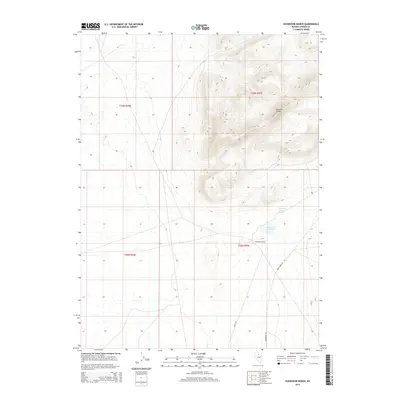
2014 Map of Izzenhood Ranch
USGS Topo · Published 2014About this map
Izzenhood Ranch sits at the heart of this high-desert landscape in northern Nevada, where water management is central to the area's utility. The presence of Izzenhood Reservoir and Izzenhood Ranch Springs highlights the critical infrastructure required for ranching in this arid environment. The terrain is marked by significant elevation changes, most notably at the Roosters Comb, a prominent peak that overlooks the surrounding range.
Find a feature on this map
11 named features on this map. Tap any name to fly to it.
Don’t see what you’re looking for? This feature index may not catch every label — zoom into the map to look around manually.
Map Details
Editions of this 2014 Izzenhood Ranch Map
This is the sole edition of this map. No revisions or reprints were ever made.
Other maps of this area
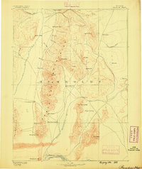
1882 · Paradise
USGS Topo · 1:250,000
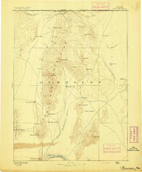
1893 · Paradise
USGS Topo · 1:250,000
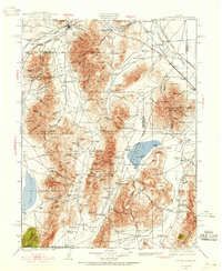
1932 · Sonoma Range
USGS Topo · 1:250,000
1939 · Sonoma Range
USGS Topo · 1:250,000

1955 · McDermitt
USGS Topo · 1:250,000

1955 · Winnemucca
USGS Topo · 1:250,000

1958 · Winnemucca
USGS Topo · 1:250,000

1959 · McDermitt
USGS Topo · 1:250,000
1962 · Winnemucca
USGS Topo · 1:250,000
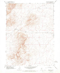
1965 · Izzenhood Gap
USGS Topo · 1:24,000