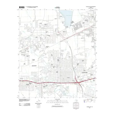
2010 Map of Jacinto City
USGS Topo · Published 2010About this map
Sheldon Reservoir and its associated Sheldon Reservoir Dam dominate the northern landscape of this Harris County quadrant, where the Sheldon Fish Hatchery sits just below the impoundment. The area reflects a dense pattern of mid-to-late 20th-century suburban growth, with numerous residential developments such as Sterling Green, Wood Forest, and Beaumont Place filling the spaces between established waterways. The complex drainage of the region is evident through the winding paths of Greens Bayou, Halls Bayou, and Hunting Bayou. Transport and infrastructure are central to the area's identity, marked by the intersection of Beltway 8 and the Crosby Fwy, alongside industrial-commercial hubs like the Market at Hunting Bayou and the aviation history preserved at Skyhaven Airport.
Find a feature on this map
91 named features on this map. Tap any name to fly to it.
Don’t see what you’re looking for? This feature index may not catch every label — zoom into the map to look around manually.
Map Details
Editions of this 2010 Jacinto City Map
This is the sole edition of this map. No revisions or reprints were ever made.
Other maps of this area

1915 · Park Place
USGS Topo · 1:24,000

1915 · Deepwater
USGS Topo · 1:24,000

1916 · Burnett Bay
USGS Topo · 1:24,000

1916 · Crosby
USGS Topo · 1:24,000

1916 · Settegast
USGS Topo · 1:24,000

1916 · Fauna
USGS Topo · 1:24,000

1916 · Harmaston
USGS Topo · 1:24,000

1916 · Humble
USGS Topo · 1:24,000

1916 · La Porte
USGS Topo · 1:24,000

1919 · Deepwater
USGS Topo · 1:31,680