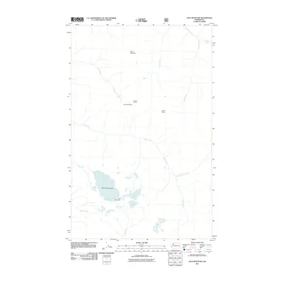
2011 Map of Jack Mountain
USGS Topo · Published 2011About this map
Jack Mountain stands as the central landmark of this high-elevation terrain, anchored by the significant ice mass of the Nohokomeen Glacier on its northern slopes. The landscape is defined by a complex drainage system where the North Fork Devils Creek and Devils Creek converge, eventually feeding southward toward Jerry Lakes. This area of Whatcom County remains largely undeveloped, characterized by isolated backcountry locations such as Bear Skull Shelter near Dry Creek Pass. The map details the transition from high peaks like Devils Dome and Spratt Mountain to the deep-cut valleys of Grizzly Creek and Middle Creek. This topographic record provides a look at the glacial and hydrological patterns of the North Cascades before contemporary shifts in ice coverage significantly altered these alpine features.
Find a feature on this map
16 named features on this map. Tap any name to fly to it.
Don’t see what you’re looking for? This feature index may not catch every label — zoom into the map to look around manually.
Map Details
Editions of this 2011 Jack Mountain Map
This is the sole edition of this map. No revisions or reprints were ever made.
Other maps of this area

1920 · Slate Pass
USGS Topo · 1:125,000

1955 · Concrete
USGS Topo · 1:250,000

1958 · Concrete
USGS Topo · 1:250,000

1962 · Concrete
USGS Topo · 1:250,000

1963 · Azurite Peak
USGS Topo · 1:24,000

1963 · Crater Mountain
USGS Topo · 1:24,000

1963 · Ross Dam
USGS Topo · 1:24,000

1969 · Skagit Peak
USGS Topo · 1:24,000
1969 · Jack Mtn
USGS Topo · 1:24,000
1969 · Shull Mtn.
USGS Topo · 1:24,000