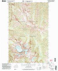
2002 Map of Jack Mountain
USGS Topo · Published 2006About this map
Jack Mountain dominates the southern landscape of this Cascades survey, anchoring a high-altitude terrain defined by the Nohokomeen Glacier and deep drainage basins. The map illustrates a complex intersection of federal land management, where the Ross Lake National Recreation Area meets the Mt Baker Snoqualmie National Forest and the Pasayten Wilderness. This overlap highlights a preserved backcountry accessible primarily by trails and remote landmarks like the Bear Skull Shelter. The hydrological network is intricately mapped, showing the headwaters of Devils Creek and its North Fork, along with high-elevation water bodies such as the Jerry Lakes. Transitions in topography are noted at Dry Creek Pass and over summits like Devils Dome and Spratt Mountain, providing a detailed record of this alpine environment before the mid-2000s.
Find a feature on this map
23 named features on this map. Tap any name to fly to it.
Don’t see what you’re looking for? This feature index may not catch every label — zoom into the map to look around manually.
Map Details
Editions of this 2002 Jack Mountain Map
This is the sole edition of this map. No revisions or reprints were ever made.
Other maps of this area

1920 · Slate Pass
USGS Topo · 1:125,000

1955 · Concrete
USGS Topo · 1:250,000

1958 · Concrete
USGS Topo · 1:250,000

1962 · Concrete
USGS Topo · 1:250,000

1963 · Azurite Peak
USGS Topo · 1:24,000

1963 · Crater Mountain
USGS Topo · 1:24,000

1963 · Ross Dam
USGS Topo · 1:24,000

1969 · Skagit Peak
USGS Topo · 1:24,000
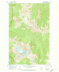
1969 · Jack Mtn
USGS Topo · 1:24,000
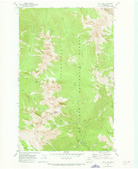
1969 · Shull Mtn.
USGS Topo · 1:24,000