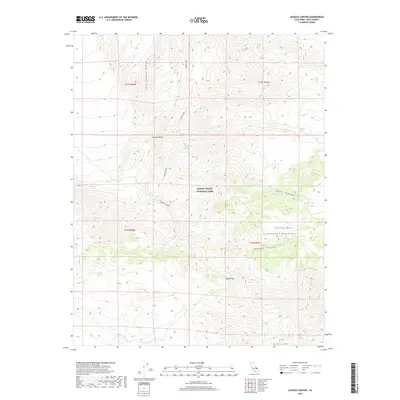
2018 Map of Jackass Canyon
USGS Topo · Published 2018About this map
Death Valley National Park encompasses this high-elevation desert landscape, where the Last Chance Range meets the Cottonwood Mountains. The geography is defined by a series of critical water sources, including the clustered Dodd Springs, Big Dodd Spring, and Little Dodd Spring. These isolated springs serve as vital landmarks across the Mojave Desert terrain, marking historic transit points through the arid corridor.
Find a feature on this map
21 named features on this map. Tap any name to fly to it.
Don’t see what you’re looking for? This feature index may not catch every label — zoom into the map to look around manually.
Map Details
Editions of this 2018 Jackass Canyon Map
This is the sole edition of this map. No revisions or reprints were ever made.
Other maps of this area

1908 · Ballarat
USGS Topo · 1:250,000

1913 · Ballarat
USGS Topo · 1:250,000

1948 · Death Valley
USGS Topo · 1:250,000

1950 · Darwin
USGS Topo · 1:62,500

1950 · Ubehebe Peak
USGS Topo · 1:62,500

1951 · Darwin
USGS Topo · 1:62,500

1951 · Ubehebe Peak
USGS Topo · 1:62,500

1951 · Panamint Butte
USGS Topo · 1:62,500

1951 · Marble Canyon
USGS Topo · 1:62,500

1954 · Death Valley
USGS Topo · 1:250,000