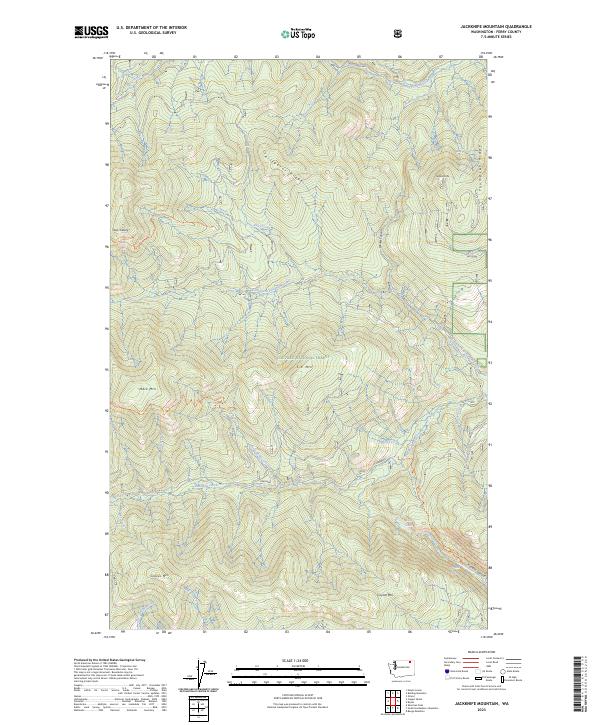
2023 Map of Jackknife Mountain
USGS Topo · Published 2023About this map
Colville National Forest dominates this section of Ferry County, where the high ridges of the Kettle River Range create a complex drainage system. The terrain is defined by prominent elevations such as Jackknife Mtn, C C Mtn, and Graves Mtn, which separate the various forks of Deadman Creek and Trout Creek. These waterways gather from high-altitude sources like Lilly Lake and Emerald Lake, flowing through deep incisions like Merkel Canyon and Hoodoo Canyon. The map reveals a landscape managed for both timber and recreation, with established routes like the Twin Sisters Trl and Mack/King Trl providing access to remote summits. This 2023 edition documents the modern boundary lines and water systems across the T37N and T38N townships, offering a detailed perspective on the watershed that feeds into the surrounding valley systems.
Find a feature on this map
42 named features on this map. Tap any name to fly to it.
Don’t see what you’re looking for? This feature index may not catch every label — zoom into the map to look around manually.
Map Details
Editions of this 2023 Jackknife Mountain Map
This is the sole edition of this map. No revisions or reprints were ever made.
Other maps of this area

1936 · Marcus
USGS Topo · 1:96,000

1942 · Marcus
USGS Topo · 1:125,000

1948 · Sherman Peak
USGS Topo · 1:62,500

1948 · Kettle Falls
USGS Topo · 1:62,500

1948 · Orient
USGS Topo · 1:62,500

1948 · Togo Mountain
USGS Topo · 1:62,500

1951 · Togo Mountain
USGS Topo · 1:62,500

1951 · Sherman Peak
USGS Topo · 1:62,500

1951 · Orient
USGS Topo · 1:62,500

1951 · Kettle Falls
USGS Topo · 1:62,500