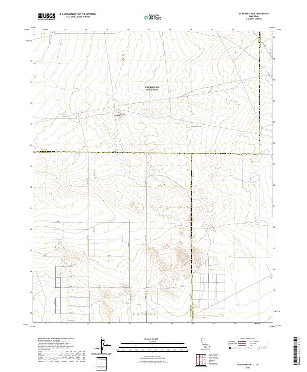
2021 Map of Jackrabbit Hill
USGS Topo · Published 2021About this map
Jackrabbit Hill rises as a prominent landmark within the Mojave Desert at the intersection of Kern, Los Angeles, and San Bernardino counties. This high-desert landscape is defined by the transitioning geography of the El Mirage Valley and a rigid grid of rural access roads that delineate property and county boundaries. The mapping of Ave A and Co Line Rd underscores the administrative divisions in this arid region, where the desert floor is etched with thoroughfares like Mars Blvd and numbered streets such as 230th St E. The absence of dense settlement highlights the topographical focus on desert basins and isolated elevations, providing a clear record of the modern infrastructure supporting this corner of Southern California.
Find a feature on this map
28 named features on this map. Tap any name to fly to it.
Don’t see what you’re looking for? This feature index may not catch every label — zoom into the map to look around manually.
Map Details
Editions of this 2021 Jackrabbit Hill Map
This is the sole edition of this map. No revisions or reprints were ever made.
Other maps of this area

1931 · Adobe
USGS Topo · 1:24,000

1931 · Hi Vista
USGS Topo · 1:24,000

1934 · Adobe
USGS Topo · 1:24,000

1935 · Hi Vista
USGS Topo · 1:24,000

1937 · Shadow Mountains
USGS Topo · 1:48,000

1937 · Kramer
USGS Topo · 1:48,000

1937 · Rogers Lake
USGS Topo · 1:48,000

1942 · Kramer
USGS Topo · 1:62,500

1942 · Shadow Mountains
USGS Topo · 1:62,500

1942 · Rogers Lake
USGS Topo · 1:62,500