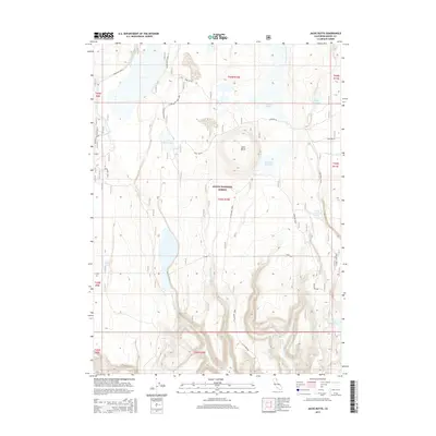
2015 Map of Jacks Butte
USGS Topo · Published 2015About this map
Jacks Butte and the surrounding high desert of the Modoc National Forest define this 2015 survey of northeast California. The landscape is characterized by a sophisticated water management network essential for ranching and forest health, including Antelope Reservoir, Mapes Reservoir, and several livestock tanks like the Jacks Butte Tank. Drainage systems such as Witcher Creek and Clover Swale Cr carve through the terrain, while the Antelope Plains and Porcupine Valley offer relatively level ground between volcanic rises.
Find a feature on this map
32 named features on this map. Tap any name to fly to it.
Don’t see what you’re looking for? This feature index may not catch every label — zoom into the map to look around manually.
Map Details
Editions of this 2015 Jacks Butte Map
This is the sole edition of this map. No revisions or reprints were ever made.
Other maps of this area

1886 · Alturas
USGS Topo · 1:250,000

1892 · Alturas
USGS Topo · 1:250,000

1954 · Alturas
USGS Topo · 1:250,000

1958 · Alturas
USGS Topo · 1:250,000

1961 · Canby
USGS Topo · 1:62,500

1961 · Alturas
USGS Topo · 1:62,500

1962 · Alturas
USGS Topo · 1:250,000

1962 · Big Sage Reservoir
USGS Topo · 1:62,500

1962 · Jacks Butte
USGS Topo · 1:62,500

1965 · Alturas
USGS Topo · 1:250,000